Landscape photography in the Faroe Islands is just amazing! Nestled in the heart of the North Atlantic lies the captivating archipelago of the Faroe Islands, positioned equidistantly between Scotland and Iceland. Renowned for its rugged terrain, dynamic weather patterns, and dramatic cliffs, the Faroes present an irresistible playground for landscape photographers.
Embracing the unpredictable charm of the islands’ weather is part of the adventure. Upon arrival at a chosen location, expect the unexpected, as weather conditions can swiftly shift. Patience becomes paramount as you await the perfect moment to capture the essence of the landscape.
Join me as I unveil my six favorite photography spots across the Faroe Islands, each accompanied by recommended camera settings to help you capture the moment with precision and artistry.
Discover my 6 favourite photo spots for landscape photography and the camera settings for each shot.
Bøsdalafossur Waterfall
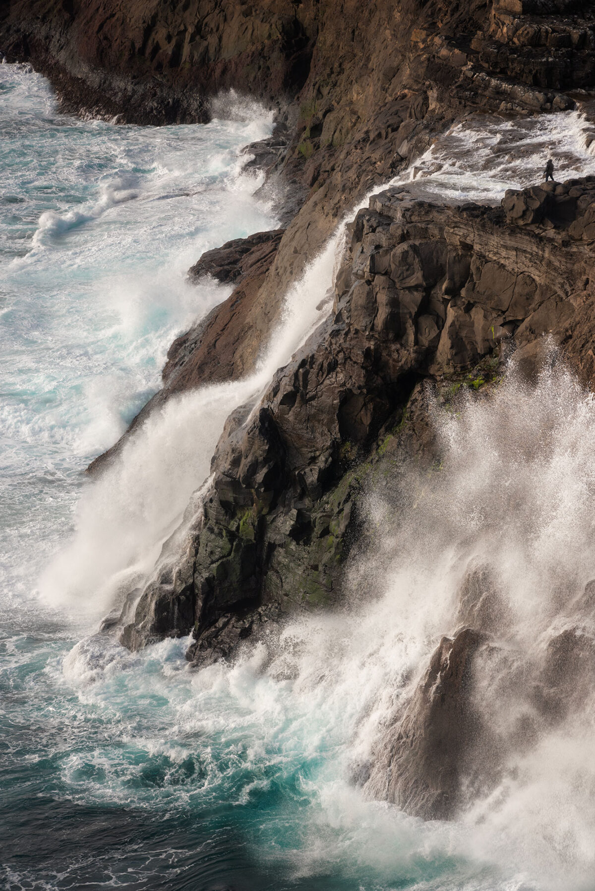
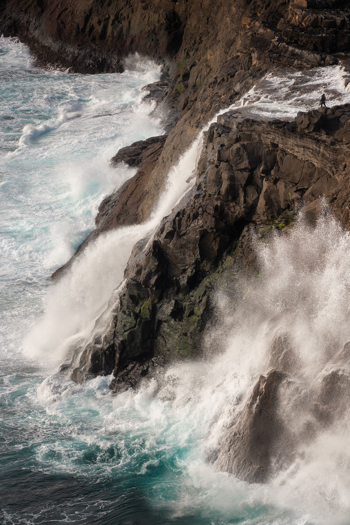
The Bøsdalafossur waterfall is located on the island of Vágar and flows from Lake Sørvágsvatn/Leitissvatn into the Atlantic Ocean. It is around 30 metres high, and depending on the weather, you can watch the waves crashing against the cliff.
How to get there
The Bøsdalafossur waterfall is reachable by walking along Lake Leitisvatn. You can park your car at the Miðvágurt to Bøsdalafossur trailhead parking lot. On arrival, you’ll have to pay a small entrance fee. The hike to the waterfall is fairly easy and relatively flat. It takes about 1 hour to get there.
How I took this photo
For my composition, I wanted to emphasise the height of the waterfall and the waves. In post-production, I added a photo of my friend taken earlier in the day, to give an idea of the scale.
My gear
Nikon D810, Nikkor 80-200mm f/2.8
Camera settings
ISO 160, f/13, 1/160s
Múlafossur Waterfall
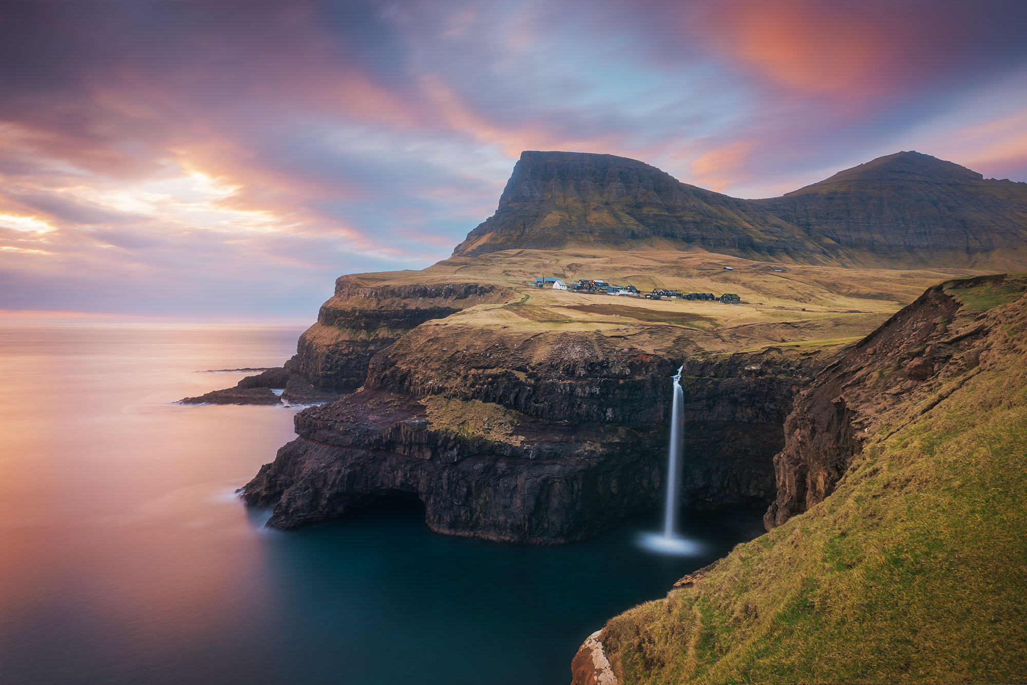
The Múlafossur waterfall is one the most famous landscape photography location in the Faroe Islands. Whether you’re looking for dramatic scenery, a sunset addict or a fan of long exposure, this is the place for you. You can easily return several times during your stay.
How to get there
Located just 20 minutes from Vagar airport, thee access to the waterfall is very easy. Just park in the centre of the village of Gásadalur and walk for a few minutes. The terrain is flat and presents no difficulties.
How I took this photo
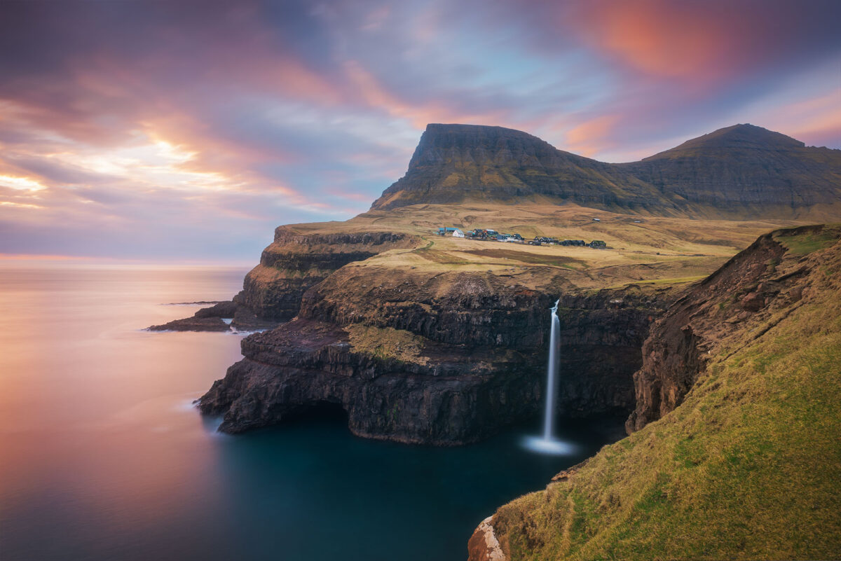
About 1 hour before sunset, I set up my tripod on the edge of the cliff, near the steps at the end of the path. This gave me time to choose my composition carefully and to be the first one on this very popular spot. I wanted to do a long exposure, which gives a contrast in the image: movement in the clouds and a blurred effect on the water.
My gear
Nikon D810, Nikkor 20mm f/2.8, Filter ND1000
Camera settings
ISO 125, f/11, 88s
Drangarnir Sea Arch
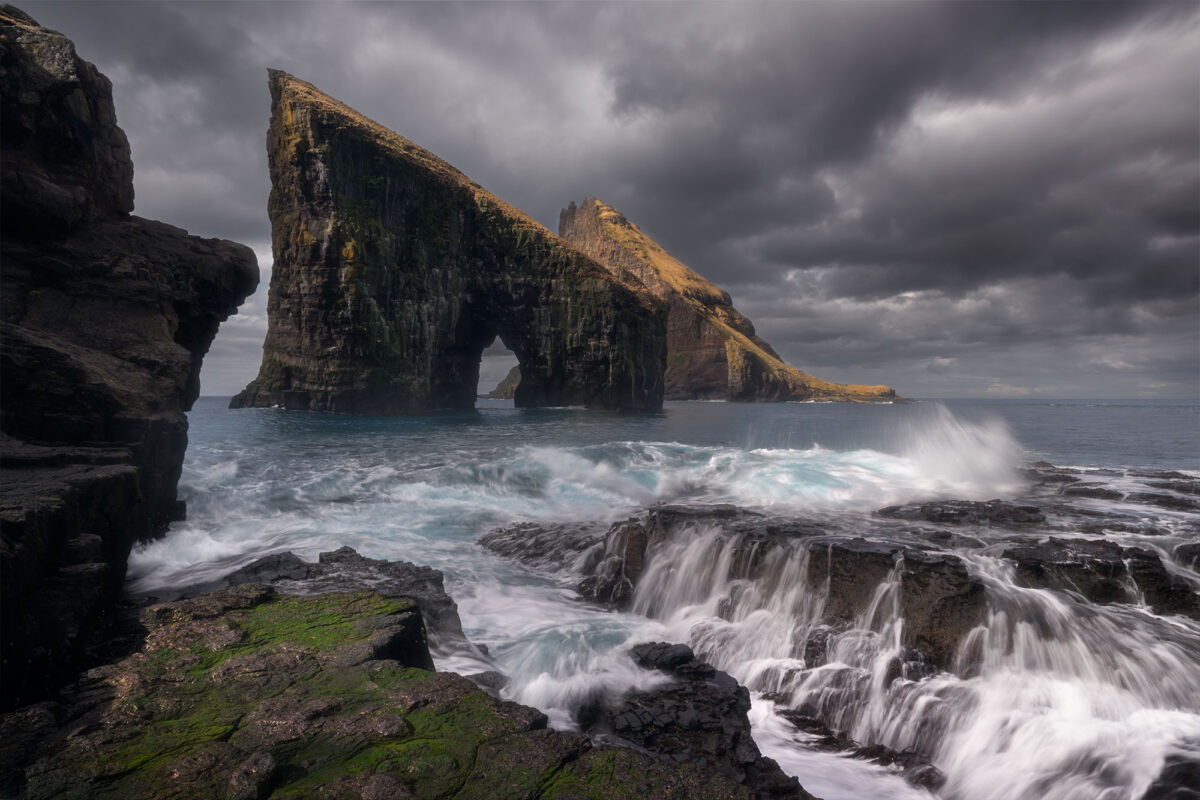
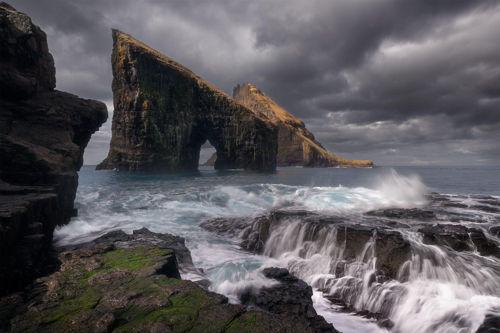
For me, Drangarnir Sea Arch is the emblem of the Faroe Islands, but also of epic and dramatic landscape photography. I dreamt of being able to immortalise this place and I was prepared to do anything to be able to go there. Thanks to good weather, I was able to realise my dream on my 2nd day in the Faroe Islands.
How to get there
To get to Drangarnir, I booked the Combined Boat Tour & Hike to Drangarnir Sea Arch at Guide of Faroe Islands. The tour departs from the port of Sørvágur and the boat journey takes around 10 minutes. The guide takes us directly to the rocks and then we have about 2 hours to walk around and take photos.
How I took this photo
My favourite photo was taken by the sea. I used my tripod to take several long exposures of the water, with the aim of making a photo stack in Photoshop.
My gear
Nikon D810, Nikkor 20mm f/2.8
Camera settings
ISO 31, f/22, 0.2s
Kallur Lighthouse
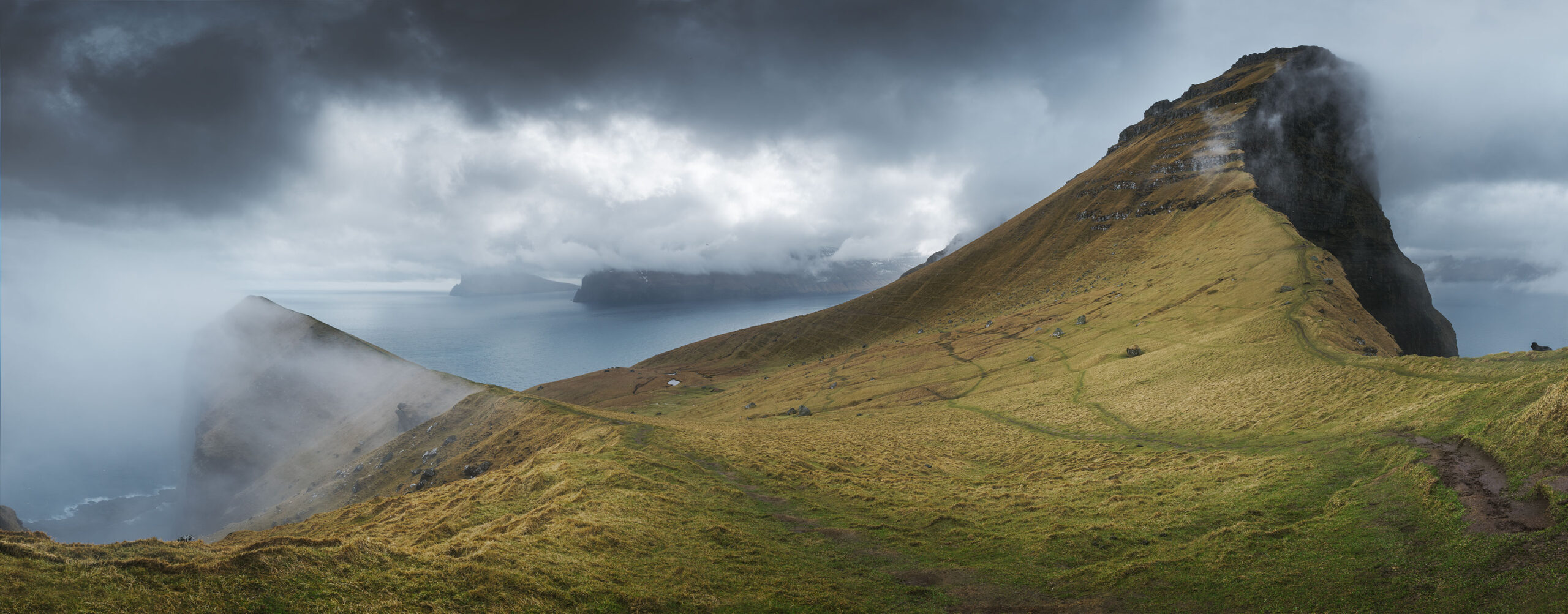
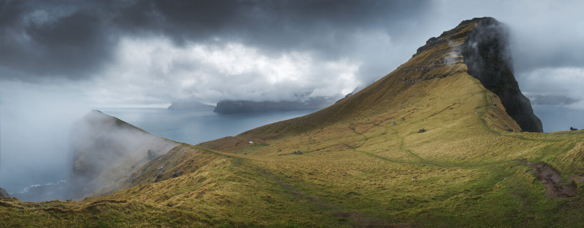
The long island of Kalsoy is home to one of the Faroe Islands’ most iconic landmark : the Kallur Lighthouse. The scenery surrounding the Kallur lighthouse is simply spectacular. The 360° view from the summit takes in the islands of Viðoy and Eysturoy. Small, discreet and set on the northern tip of the island, it is surrounded by steep cliffs covered in layers of grass, a dream place for any landscape photographer.
How to get there
Access to Kalsoy Island is by ferry from the town of Klaksvík on Borðoy Island. If you’re going by car, I’d advise you to come 1 hour earlier to catch the ferry. It’s small and can only hold a dozen cars (link to timetable).
The walk starts from the village of Trøllanes and takes between 1 and 2 hours each way. I’d also advise you to take crampons for your shoes, as the terrain can become very slippery after rain.
How I took this photo
The scale of this landscape is impressive. Once you reach the top, you feel like you’re at the end of the world. To immortalise Kalsoy Island, I decided to create a panorama made up of 6 photos.
My gear
Nikon D810, Nikkor 24-70mm f/2.8
Camera settings
ISO 125, f/11, 1/125s
Hvithamar viewpoint
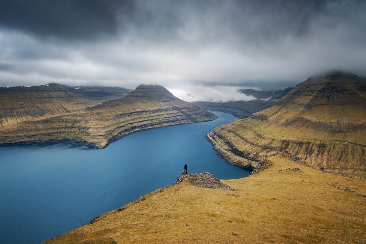
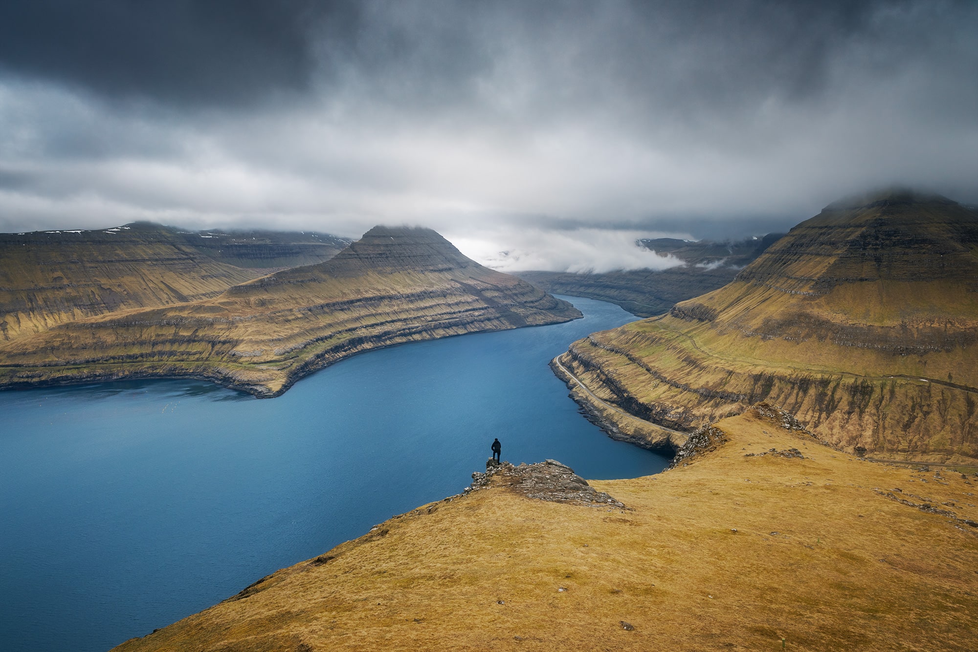
Hvíthamar is a viewpoint located between the villages of Funningur and Gjógv, on the Island of Eysturoy. The hike to the summit offers many options for landscape photography.
How to get there
On the road leading to the village of Gjógv, there is a small car park for the start of the Gongutúrur / Hvithamar Trailhead hike. To reach the summit, simply follow the signs. The climb takes around 1 hour. The terrain is flat at the start and then a few metres uphill.
How I took this photo
To take this photo, I went to the very top. I wanted to take a photo that showed the grandeur of the place. To do this, I asked my friend to go and stand below. Thanks to his black clothes, he stood out against the turquoise water.
My gear
Nikon D810, Nikkor 24-70mm f/2.8
Camera settings
ISO 200, f/13, 1/125s
Fossá Waterfall
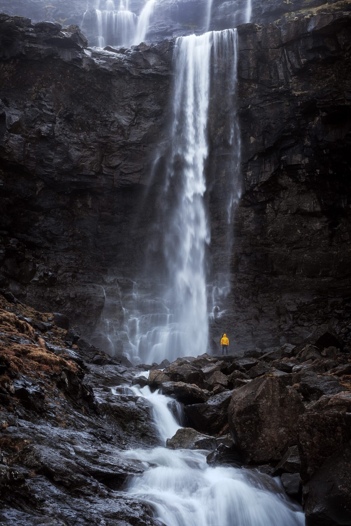
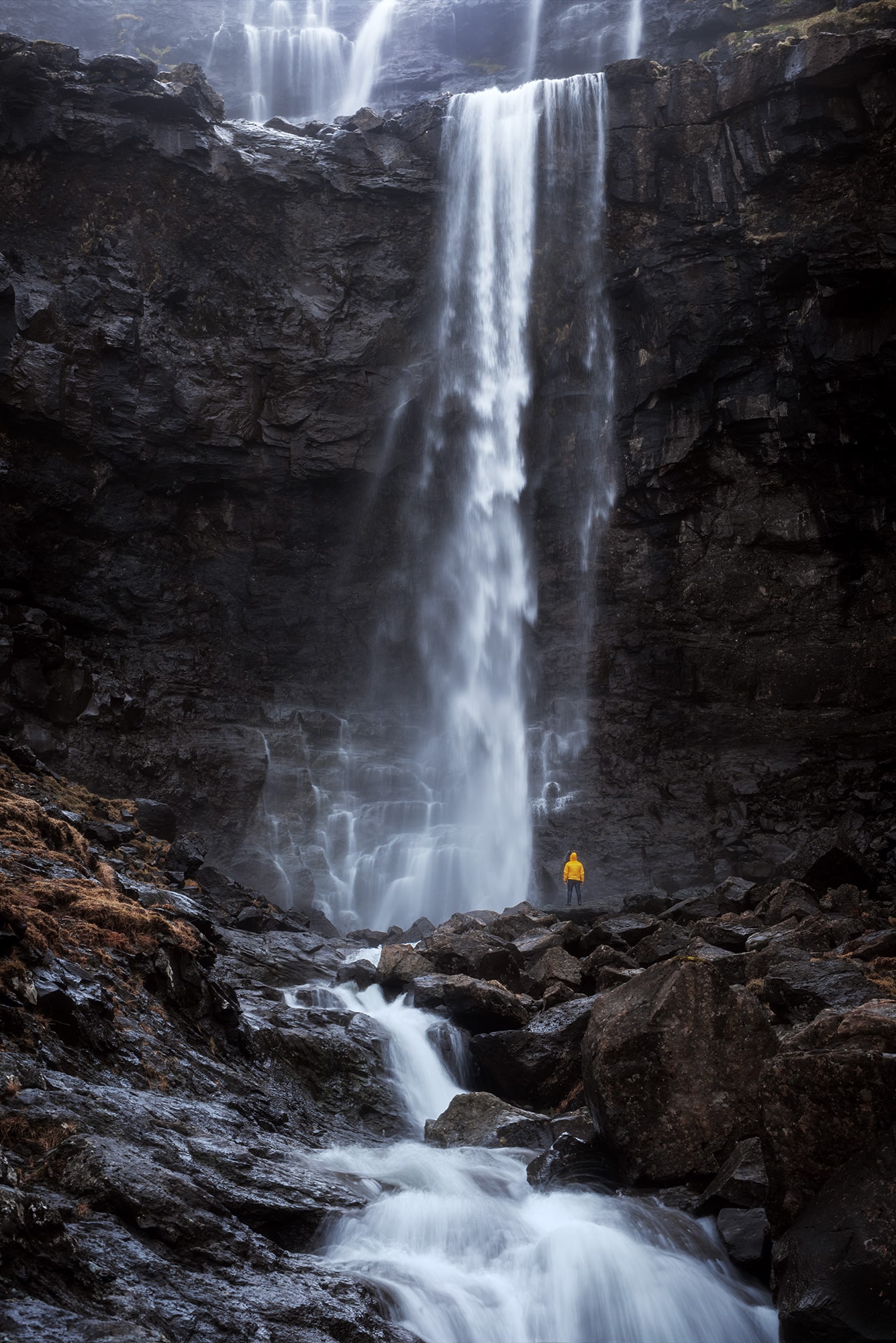
Located on the island of Streymoy, Fossá Waterfall is the largest waterfall in the Faroe Islands. Easy to get to and visible all year round, this attraction is truly unmissable.
How to get there
Located in the northern part of the Island of Streymoy, access to the waterfall is very easy. A small car park is located just a few metres away and you can walk right up to the waterfall.
How I took this photo
II had planned this photograph well in advance of our departure. To give a sense of scale, wanted my friend to be at the foot of the waterfall, wearing a yellow jacket. We brought it especially for the occasion.
As I wanted to photograph both levels of the waterfall, I placed my tripod below. This photo is a blend of 2 photos : 1x long exposure to get the water blurred and 1x normal exposure to get my friend in focus.
My gear
Nikon D810, Nikkor 80-200mm f/2.8
Camera settings
Waterfall shot : ISO 160, f/11, 1/4s
Man will yellow jacket : ISO 160, f/11, 1/50s
Published on 28.09.2023 by Jennifer Esseiva
