The Faroe Islands had been on my mind for years, and in April 2023 I finally spent 7 days exploring this remote North Atlantic archipelago.
I deliberately chose to visit in late April, during spring. At that time of year, the islands are far less crowded than in summer, accommodation prices are often lower, and some of the most popular photography locations can feel surprisingly empty.
For photographers, April is a fantastic season. The weather is dramatic and constantly changing, waterfalls are flowing strongly, and there is still a chance of seeing the northern lights on clear nights. The days are also long enough to comfortably photograph both sunrise and sunset.
Looking for more Faroe Islands photography inspiration? You can also explore my guide to the 8 best photography spots in the Faroe Islands, my Kallur Lighthouse hiking guide, or browse my complete Faroe Islands photo gallery.
Quick recap: key locations and useful links
Best Photography Spots in the Faroe Islands (Featured in this Itinerary)
➜ Múlafossur waterfall
➜ Drangarnir sea stack
➜ Kallur Lighthouse
➜ Fossá waterfall
➜ Hvithamar viewpoint
➜ Klakkur mountain viewpoint
➜ Trælanípa cliff and Sørvágsvatn lake
➜ Trøllkonufingur
Useful links for your Faroe Islands itinerary
➜ Car rental in the Faroe Islands (we rented our car with Arctic Car Rental Faroe Islands)
➜ Official tourism website
➜ Travel information across the islands
➜ Guided hike to Drangarnir sea arch (mandatory to access the site)
➜ Kalsoy ferry timetable (essential for Kallur Lighthouse)
➜ Closed for Maintenance event (important if travelling in spring)
Why I Stayed Near Tórshavn
I highly recommend staying around Tórshavn for a first photography trip. Most of the locations in this guide can be reached within a reasonable driving distance, making it easier to adapt your plans to the constantly changing weather.
Why Visit the Faroe Islands in April?
✅ Fewer tourists
✅ Lower accommodation prices
✅ Powerful waterfalls
✅ Dramatic weather and changing light
✅ Easier access to popular viewpoints
✅ Possibility of seeing the northern lights
Day 1: Arrival in Vágar and first landscapes
Our journey started on the island of Vágar, where most international flights arrive. We flew from Zurich with Scandinavian Airlines and Atlantic Airways, with a short stopover in Copenhagen. We landed around midday, which gave us just enough time to start exploring.
After landing, we picked up our rental car with Arctic Car Rental Faroe Islands. The process was incredibly smooth. Instead of waiting at a counter, you receive a code for a key box, allowing you to collect your car in just a few minutes. It’s a small detail, but after a journey, it makes a big difference.
As our Airbnb check-in in Hósvík was scheduled for around 3 pm, we decided to make the most of the afternoon and head straight to our first location.
Múlafossur waterfall in Gásadalur
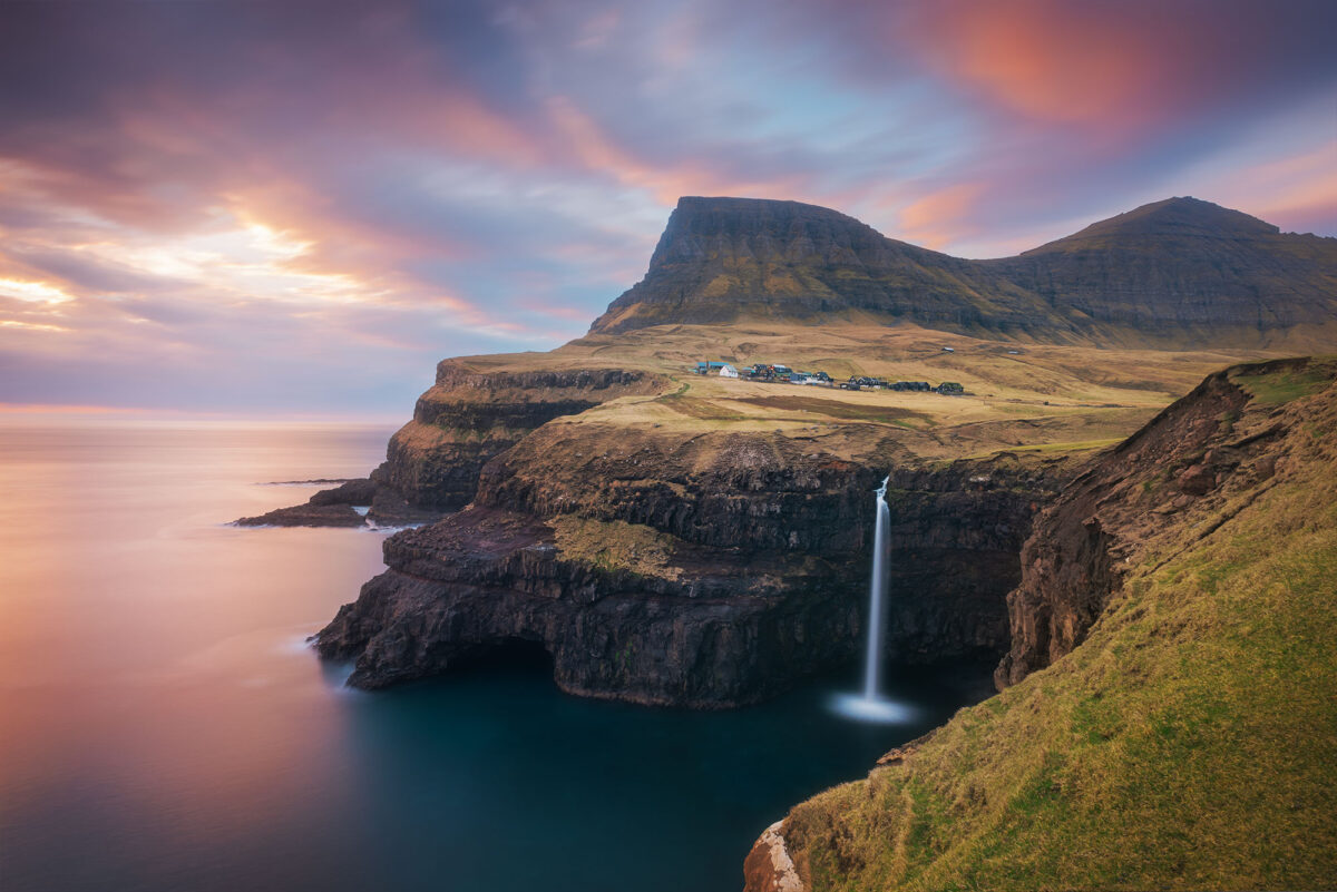
Located only about 15 minutes from Vágar airport, Múlafossur waterfall is one of the most accessible and iconic spots in the Faroe Islands, making it perfect for an arrival day.
With clear weather on our side, it felt like the ideal introduction to the islands. The waterfall drops dramatically from the cliffs into the Atlantic Ocean, with the small village of Gásadalur adding a quiet and timeless atmosphere to the scene.
The parking is located along the road, near the path leading to the main viewpoint. From there, it’s only a short and easy walk across flat terrain to reach the waterfall.
➜ Parking location
➜ Múlafossur view point


Where to stay in Hósvík
After this first stop, we drove to our accommodation in Hósvík, on the island of Streymoy. We chose this location because it is centrally positioned, making it easy to explore different islands without spending too much time driving each day. For a photography trip, this kind of base is incredibly valuable.
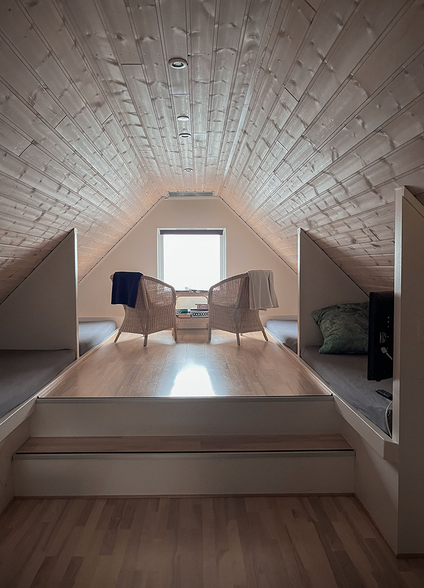
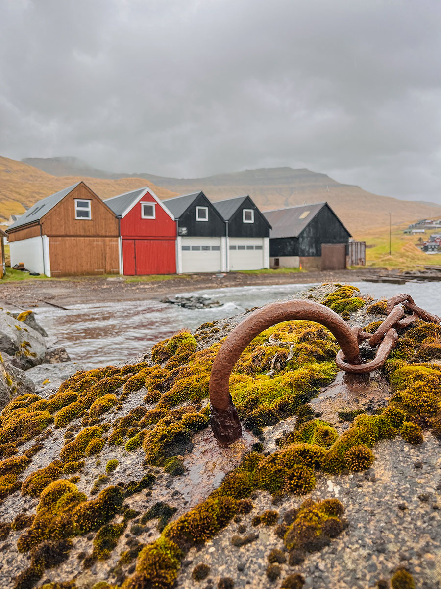
We stayed in a traditional boathouse, fully equipped with a kitchen, which was perfect for our schedule. Early mornings, late evenings, and sometimes night shoots require flexibility, and having a comfortable place to cook and rest made a big difference.
The view over the fjord, combined with the quiet atmosphere, made it a very special place to come back to after long shooting days.
Exploring Tórshavn old town
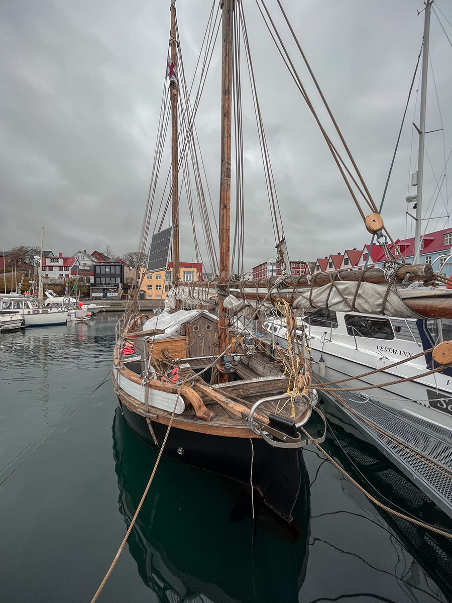
In the evening, we headed to Tórshavn to explore the old town and get a first glimpse of the local culture.
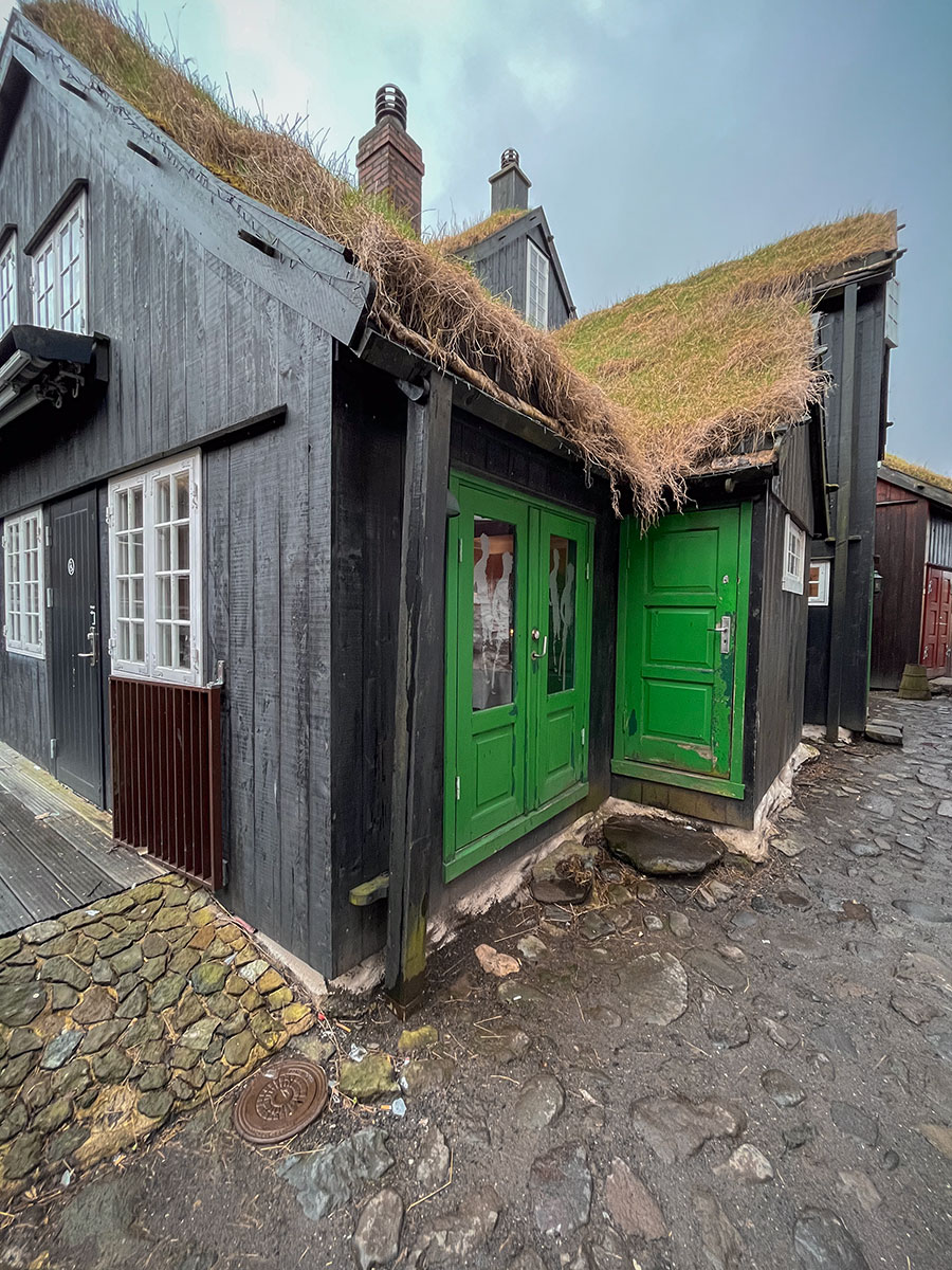
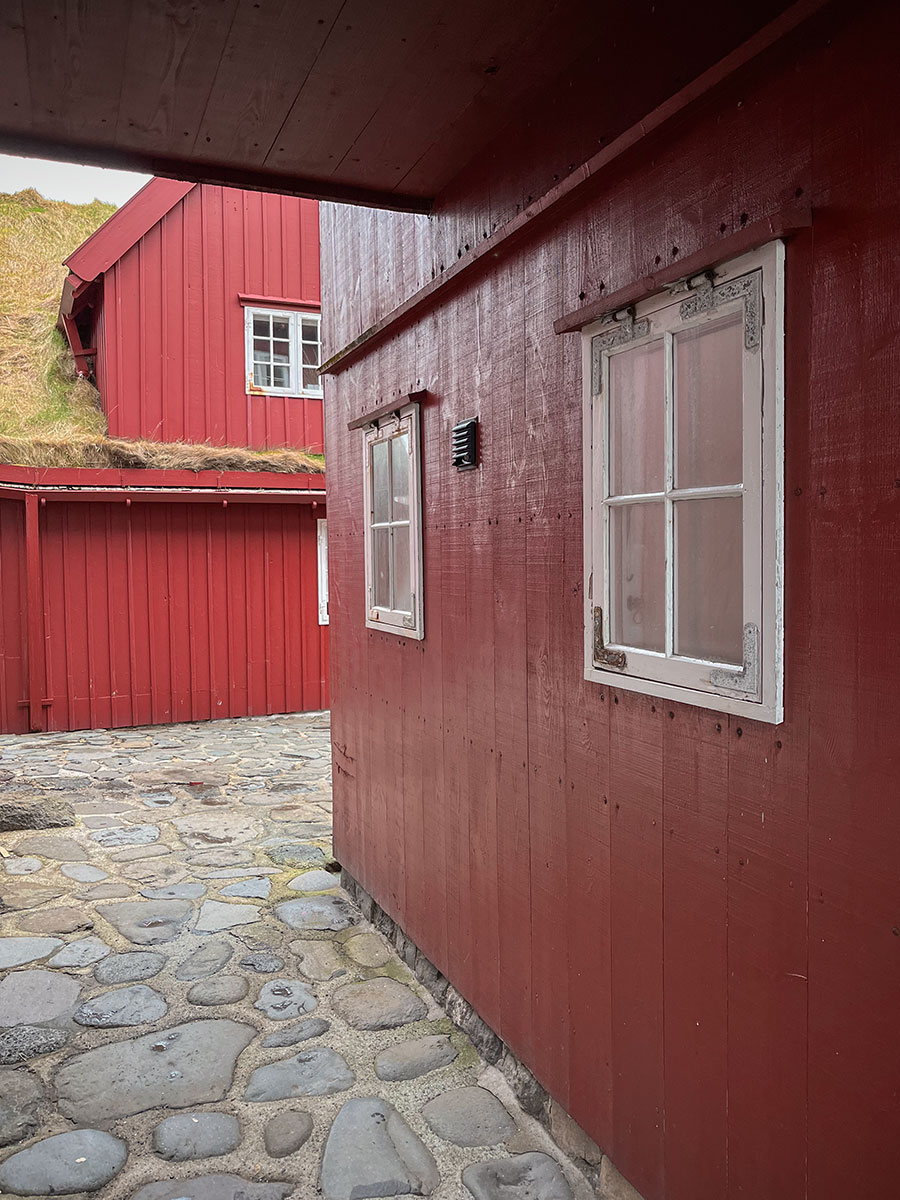
The historic district, with its black wooden houses and grass roofs, feels timeless. Walking through these narrow streets at the end of the day was a completely different experience from the wild landscapes seen earlier.
We ended the day at the Áarstova, where we tried a traditional Faroese lamb dish. A simple and authentic way to connect with the local culture after our first day.
Day 2: Vágar Island and iconic photography spots
Our second day was entirely dedicated to the island of Vágar, one of the most diverse areas in the Faroe Islands for landscape photography. From sea arches to dramatic cliffs and waterfalls, this day offered a wide range of compositions and constantly changing light.
Drangarnir sea arch
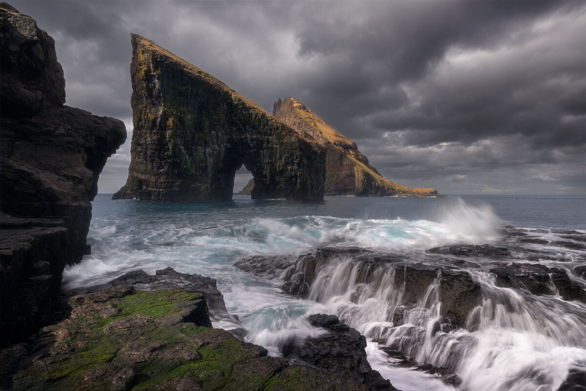
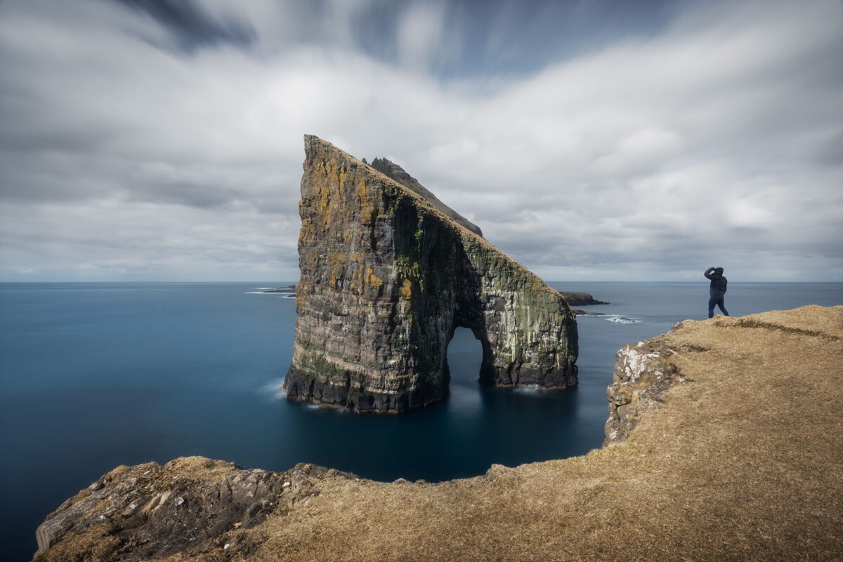
Drangarnir was one of the locations I was most excited to photograph in the Faroe Islands. At first, I had planned to hike there, but the access is located on private land and was no longer possible at the time of our trip. Instead, a guided boat tour is offered, which allows you to reach the site and spend some time on location. I booked this experience a few weeks in advance via Guide to Faroe Islands.
The tour lasts around two hours, including a short boat ride and time on site. The departure is from the marina of Sørvágur, which is easily accessible by car. It was scheduled around midday, which is not ideal for photography. However, I got lucky with the conditions. Heavy clouds filled the sky, adding depth and drama to the scene, which made a big difference.
Two hours is enough to capture a few strong images if you stay focused, although having three or four hours would allow for more exploration. We were also very lucky, as we were only four people on the tour. It gave us the feeling of having this iconic location almost entirely to ourselves.
I chose to focus on two main compositions. The first one was from above, on a small hill overlooking the arch. From there, I worked on a long exposure to create a smooth and slightly unreal atmosphere, softening the movement of the ocean.
The second composition was closer to the water, near the base of the cliffs. Here, I opted for a semi-long exposure to keep some texture in the waves while still capturing their movement. The contrast between the dynamic sea and the heavy sky created a very powerful scene.
Beyond the main subject, the surrounding coastline also offers interesting details and alternative compositions, especially when the light changes.
I would definitely recommend this guided tour. It’s one of the best ways to experience and photograph one of the most iconic landscapes in the Faroe Islands, especially if access by foot is restricted.
➜ Marina of Sørvágur
➜ Drangarnir top view
➜ Drangarnir lower view point
Trælanípa cliffs and Bøsdalafossur waterfall
After the Drangarnir boat tour, we decided to continue exploring Vágar as the weather was still holding nicely. We headed to the Trælanípa cliffs, starting from the Miðvágur trailhead. Access to this hike requires a small entrance fee, as the area is located on private land. You can find the latest information and booking options on the official website Visit Faroe Islands or directly via Trælanípa Hiking.
The hike itself is relatively easy and mostly flat, making it accessible even without much experience. You walk along the lake Sørvágsvatn (also known as Leitisvatn), which gradually leads you towards the cliffs.
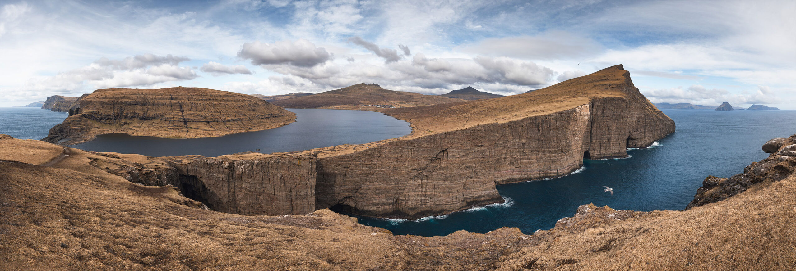
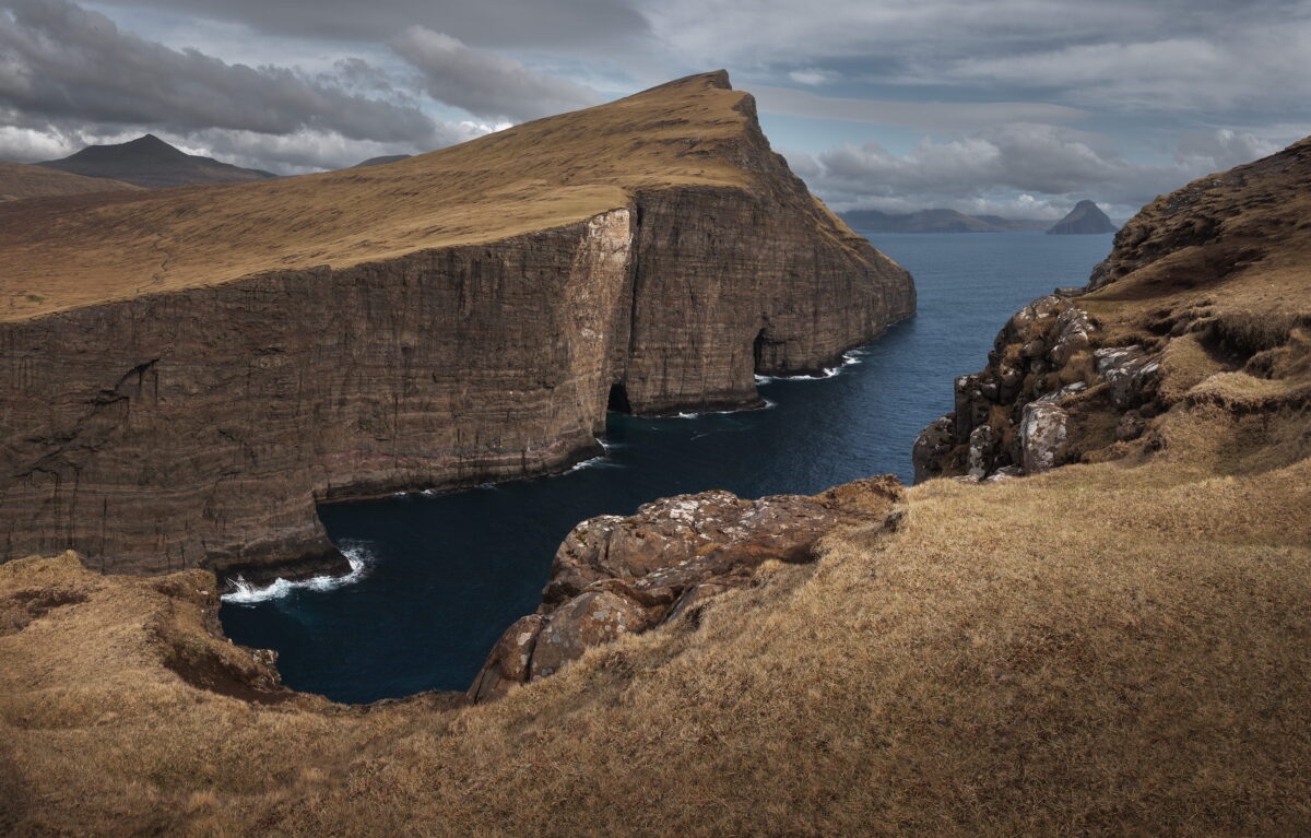
The final section is slightly steeper, but short. Once at the top, the view over the cliffs is simply breathtaking. The famous optical illusion of the lake appearing above the ocean makes this one of the most photographed locations in the Faroe Islands.
It can get very windy at the top, so be prepared. During our visit, we were lucky to have some sunshine, which is not always guaranteed here. I took the opportunity to create a panorama, capturing both the cliffs and the vast landscape of Vágar.
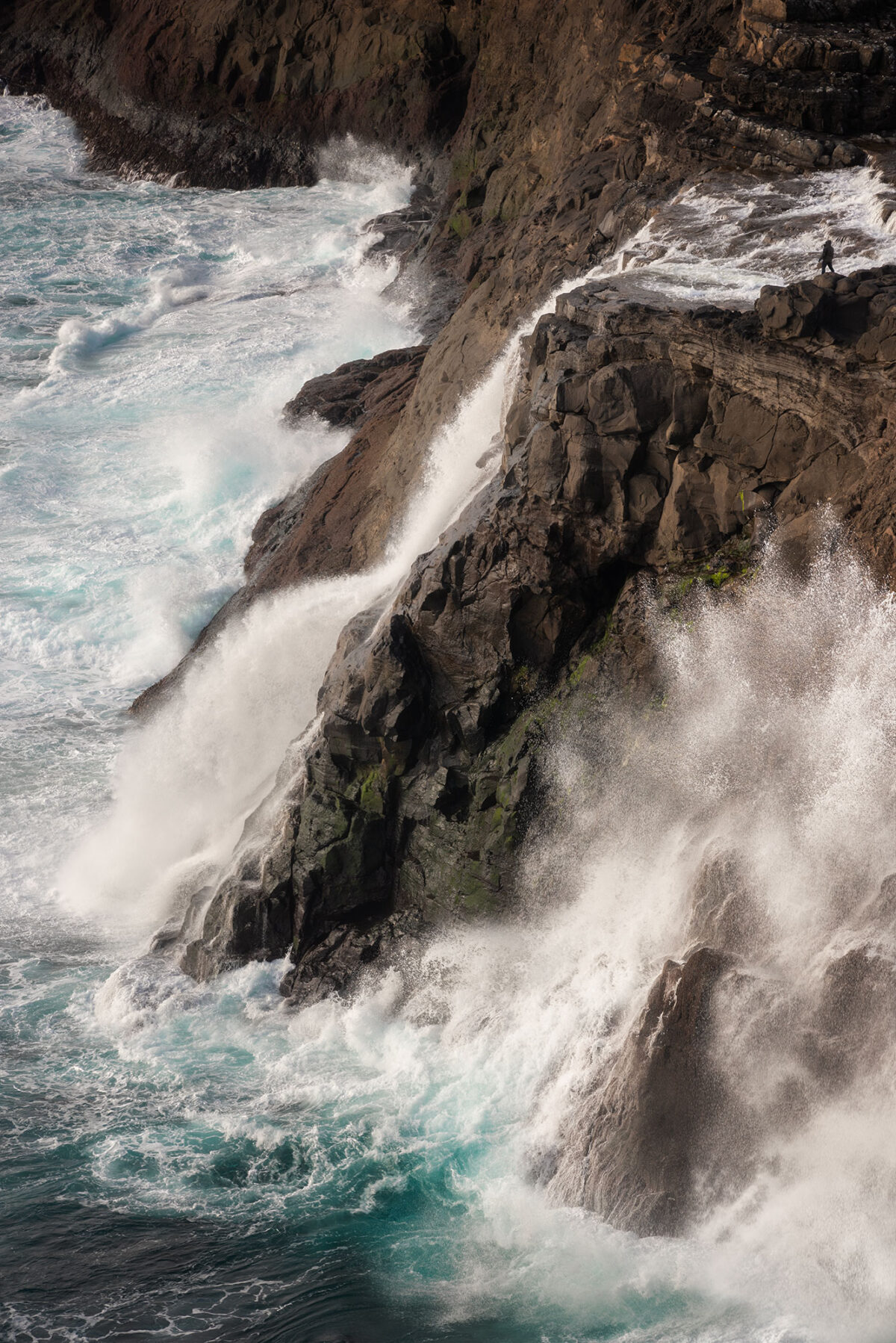
After spending time at Trælanípa, we continued towards Bøsdalafossur waterfall. The path leads down towards the coastline, where the lake dramatically flows into the Atlantic Ocean.
Seeing the lake, the waterfall and the ocean all aligned in the same frame is truly unique. The conditions were perfect that day, with strong waves crashing against the cliffs. I decided to go for a vertical composition, focusing on the waterfall and the powerful movement of the sea to capture the raw energy of the scene.
Trøllkonufingur sea stack
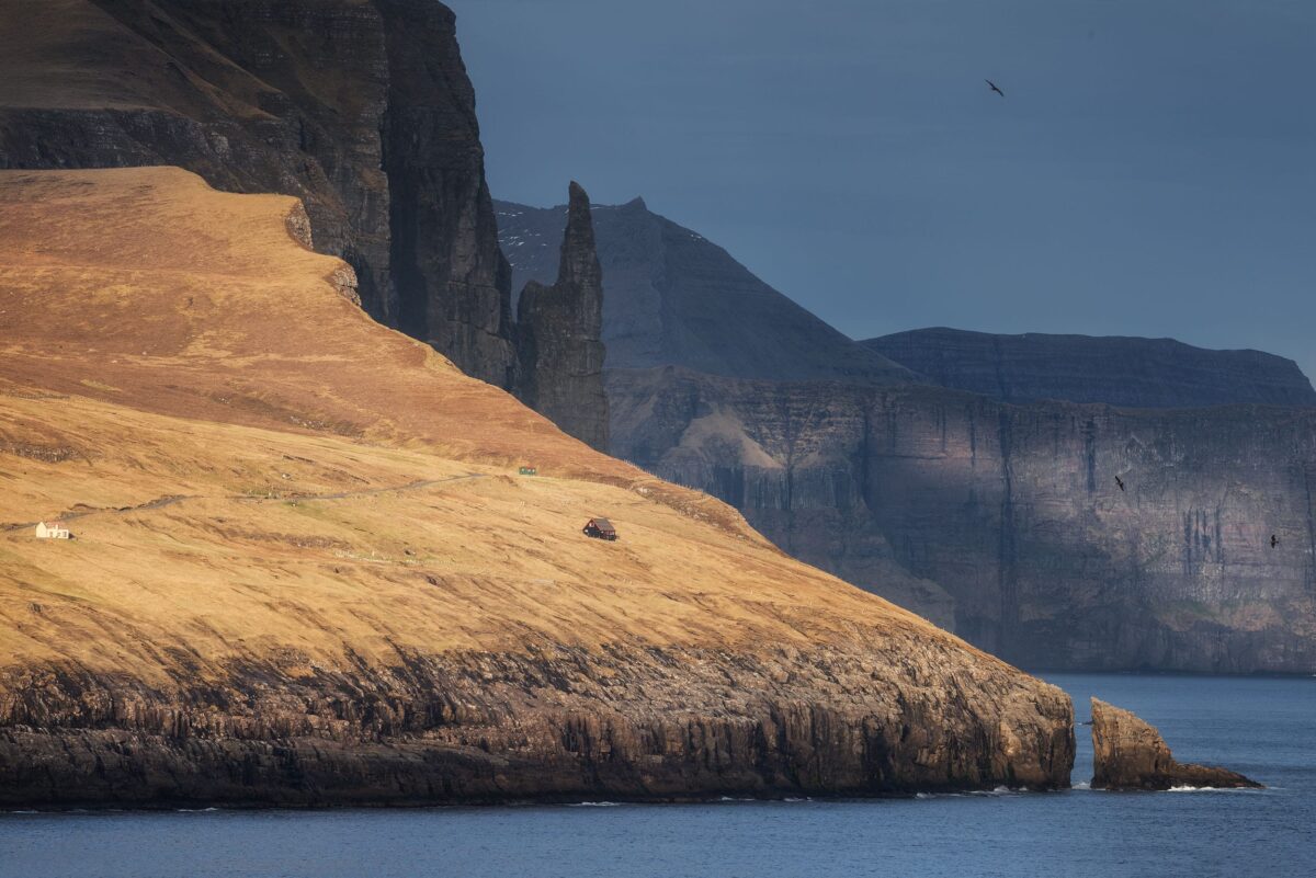
Trøllkonufingur is one of the most emblematic rock formations in the Faroe Islands, rising sharply from the ocean along the coast of Vágar.
On the way back from the cliffs, I didn’t have enough time to hike closer to the viewpoint. The light was starting to look very promising, so I decided to stay flexible and look for a quick stop along the road near the village of Miðvágur.
From there, you can already get a beautiful view of Trøllkonufingur in the distance, without needing to hike. We parked on the roadside and spent around 30 minutes photographing the scene, taking advantage of the soft light over the coastline.
Sunset at Múlafossur waterfall
I was keen to return to Múlafossur waterfall for sunset, hoping for stronger light than the day before.
Throughout the day, I kept checking the conditions using the Viewfindr app to anticipate whether the sky might turn red. While photographing Trøllkonufingur, I checked it several times, and the forecast looked promising.
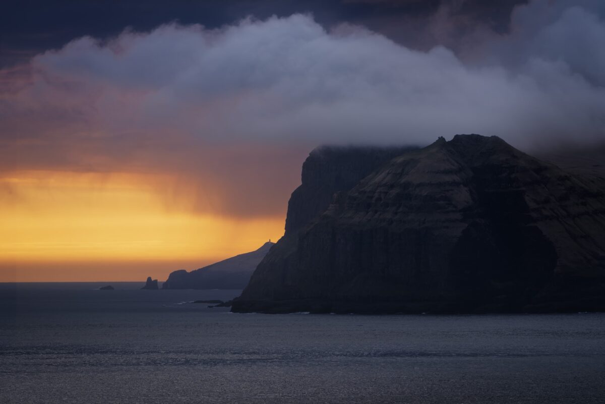
On our way to Gásadalur, we made a short stop to photograph Mykines island. The light was becoming softer, with fog slowly wrapping around the landscape and rays of light breaking through the clouds.
We arrived at Múlafossur around 1 hour and 30 minutes before sunset. It may seem early, but arriving ahead of time is essential in popular locations like this, especially when the best compositions are limited.
Day 3: Kalsoy Island and Kallur Lighthouse
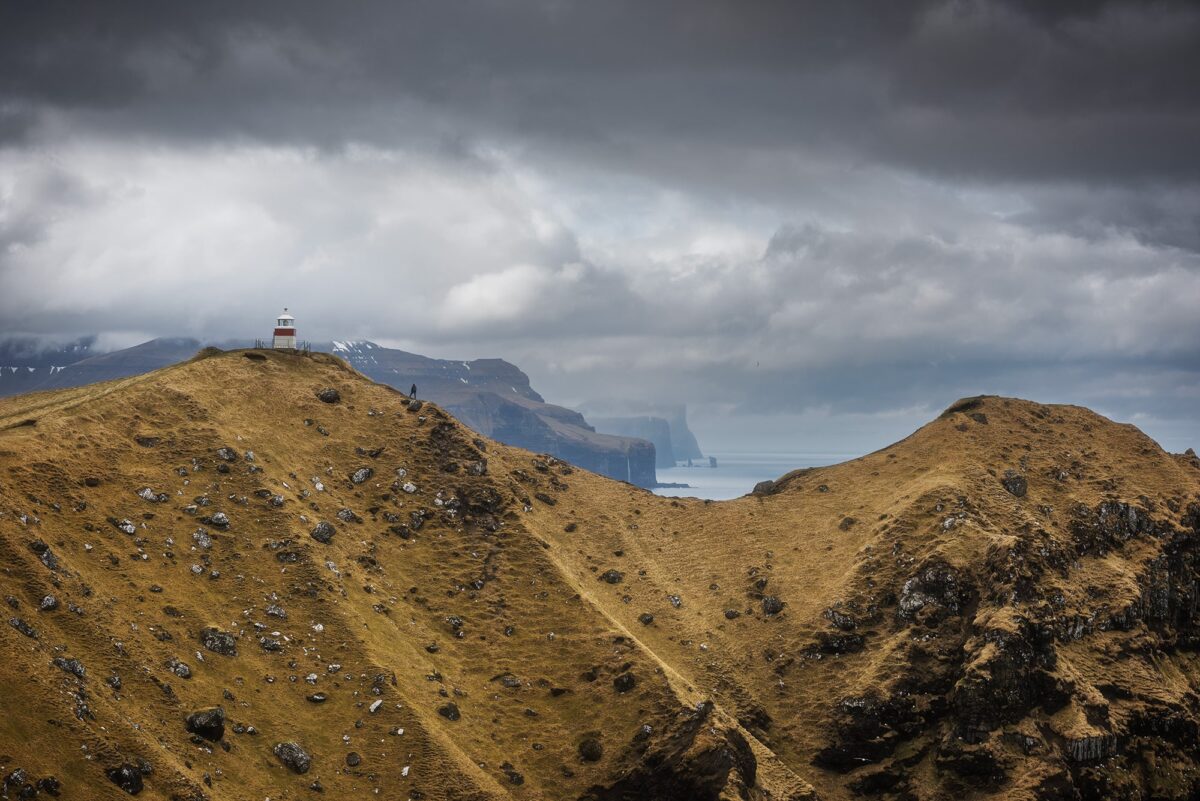
On this third day, we headed to Kalsoy Island, one of the most iconic locations in the Faroe Islands, known for the dramatic setting of Kallur Lighthouse. To reach it, you need to take a ferry from Klaksvík on the island of Borðoy.
As we were travelling with a car, we made sure to arrive about an hour early to secure a spot. The ferry has a limited capacity and gives priority to local traffic, so arriving early is definitely recommended, especially during busy periods. We checked the timetable in advance on the official ssl.fo website.
We also wanted to make sure we had enough time on the island. As the hike to Kallur Lighthouse can take a while depending on your pace, getting an early ferry allowed us to fully enjoy the location and take our time for photography.
Hike to Kallur Lighthouse on Kalsoy
Once on Kalsoy, we drove to the village of Trøllanes, where the hike begins. There is only one road on the island, making navigation very straightforward.
The hike takes around 1 to 2 hours each way, depending on your pace and how often you stop. Access to the trail requires a mandatory fee, as the land is privately owned. At the time of our visit, it was 200 DKK for adults and 100 DKK for children, payable on site by credit card.
When we did the hike, the conditions were quite challenging. It had rained heavily during the night, and we were walking through fog for a large part of the ascent. The ground was very wet and slippery, which made the climb more technical than expected.
We decided to use small crampons, which made a huge difference. Not only did they prevent us from slipping, but they also gave me much more confidence, especially as I tend to feel uncomfortable with heights. And at the top, you are standing on very exposed cliffs.
➜ Ferry line to Kalsoy (from Klaksvík)
➜ Parking location (Trøllanes village)
➜ Kallur hike information and fees
At the top: one of the most impressive viewpoints in the Faroe Islands
Once we reached the summit, the landscape completely opened up.
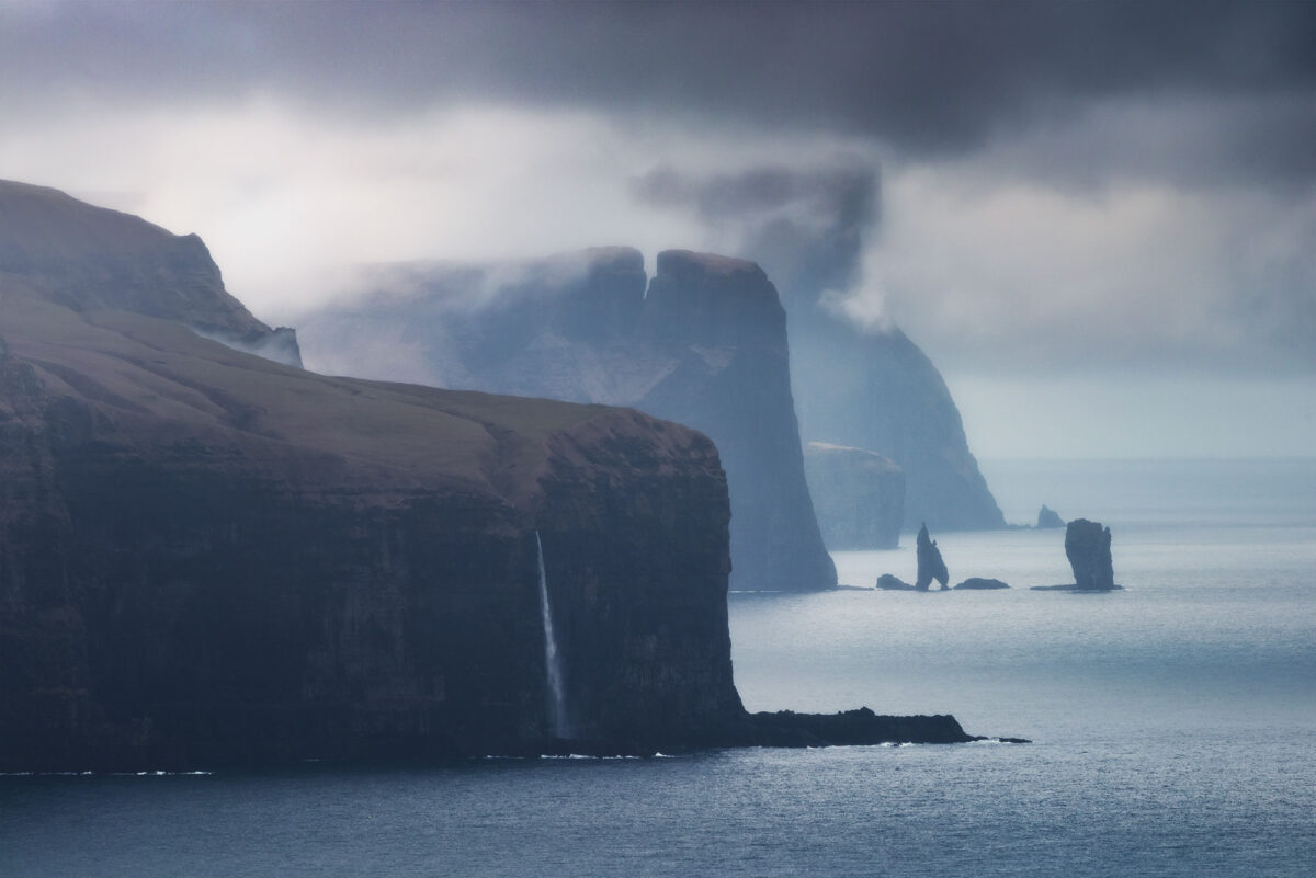
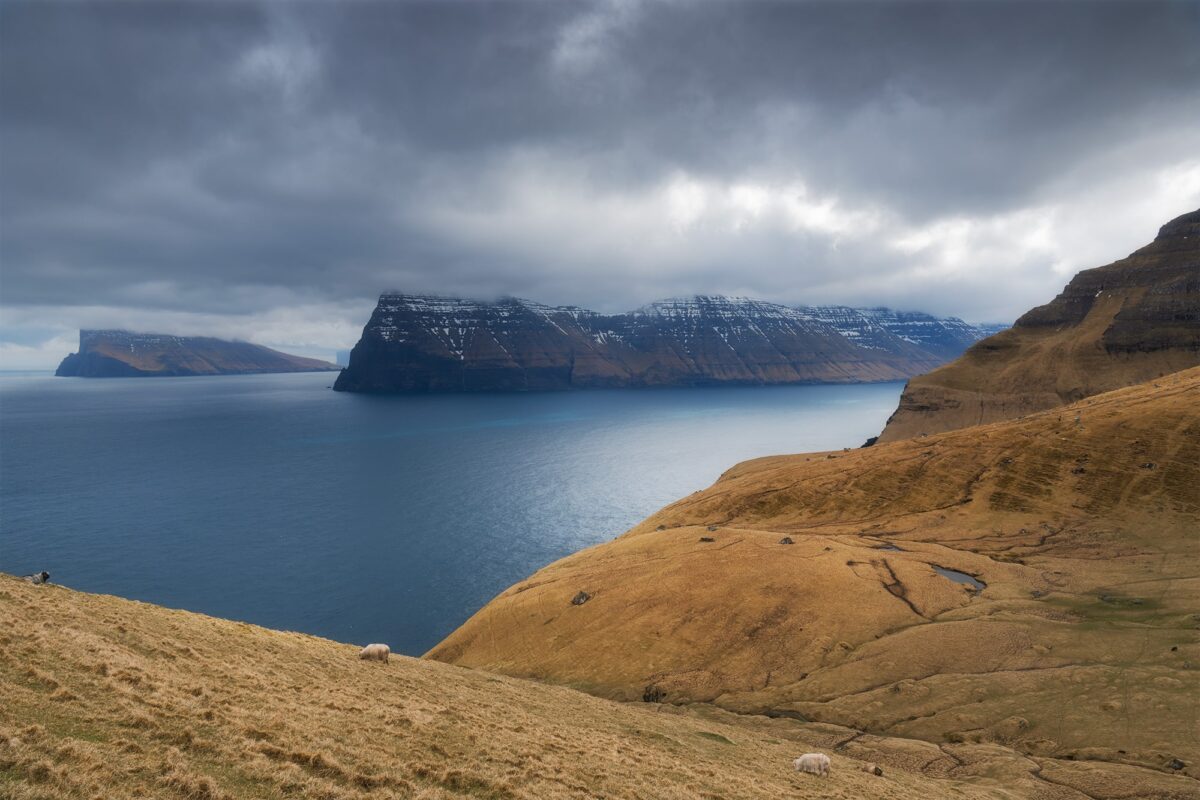
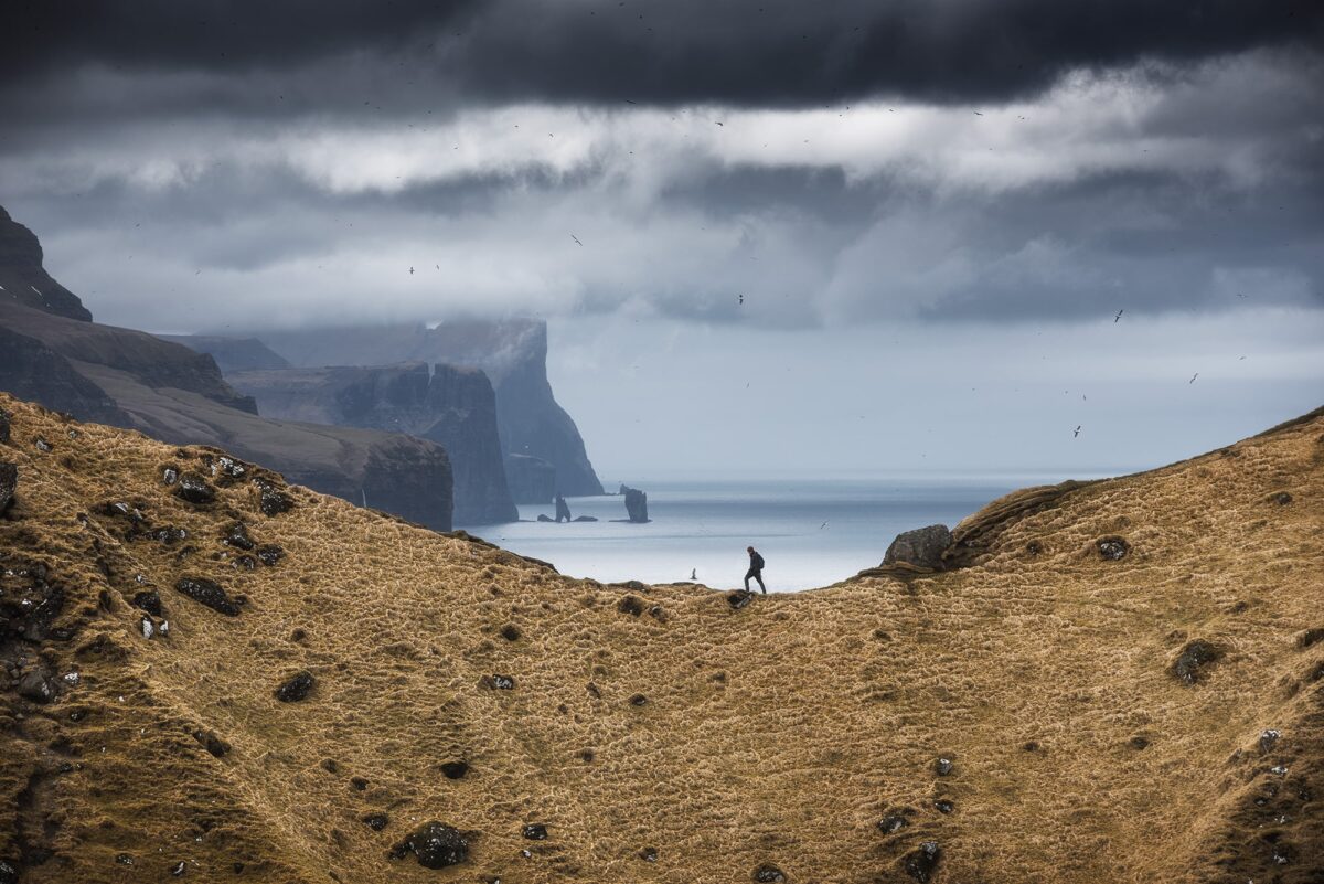
Despite the changing weather, the atmosphere was incredible, with clouds moving quickly and light constantly shifting. It created a very dynamic scene, perfect for photography.
There are many compositions to explore at the top:
➜ View towards Eysturoy, with sea stacks rising from the ocean (focal length of at least 400mm)
➜ A panoramic view over Kalsoy, with Kunoy and Viðoy
➜ The iconic composition of the ridge and the view over Eysturoy
We chose to take our time and fully enjoy the location rather than combining it with another hike like Klakkur. With such a place, it really feels worth slowing down.
If you are planning to visit this spectacular viewpoint yourself, I recently published a complete guide covering the hike, photography tips, ferry information and what to expect on Kalsoy Island.
➜ Read my Kallur Lighthouse photography guide
Day 4: Streymoy Island and easy photo spots
After a few more active days, we decided to slow things down and explore the northern part of Streymoy Island. This area is perfect if you’re looking for easily accessible locations, with beautiful landscapes just a short drive apart.
From the black sand beach of Tjørnuvík to the impressive Fossá waterfall and the peaceful village of Saksun, this day was all about simple moments and enjoying the scenery without rushing.
Village of Tjørnuvík & Fossá Waterfall
For this fourth day, we wanted something a bit more relaxed, without long hikes. The northern part of Streymoy Island was perfect for that, with several beautiful spots easily accessible by car.
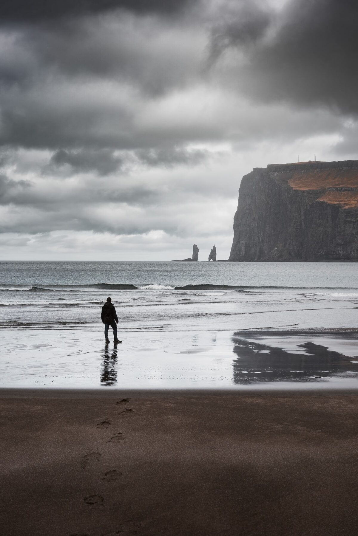
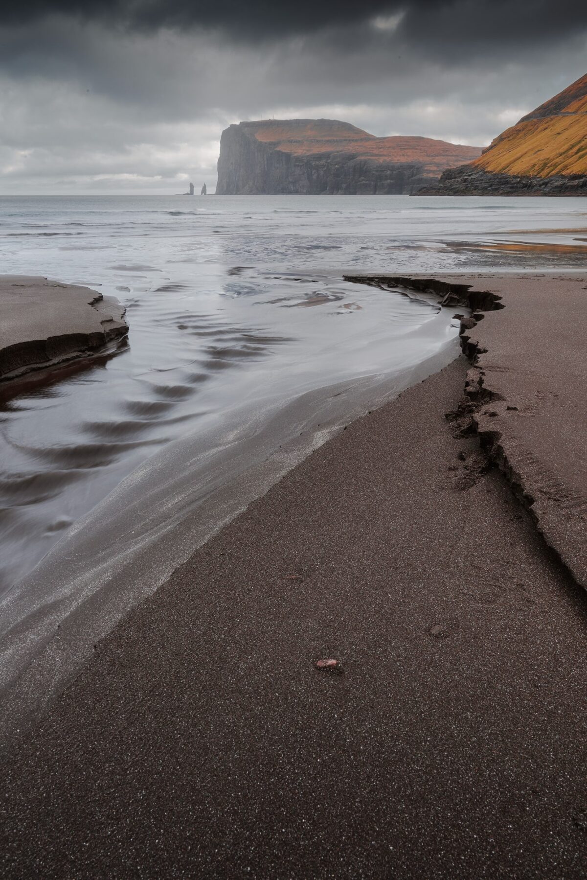
We started with the village of Tjørnuvík, located at the far end of the island. This small and remote village is known for its black sand beach and the iconic sea stacks Risin and Kellingin rising from the ocean.
From a photography perspective, there are quite a few compositions to explore, and it all depends on the weather conditions. In our case, it was cloudy with light rain, but the ocean was surprisingly calm. Instead of forcing a dramatic scene, I decided to keep it simple and focus on minimal compositions, with my friend standing on the beach and the sea stacks in the background. The soft light and muted tones actually worked really well for that kind of atmosphere.
➜ Tjørnuvík village car park
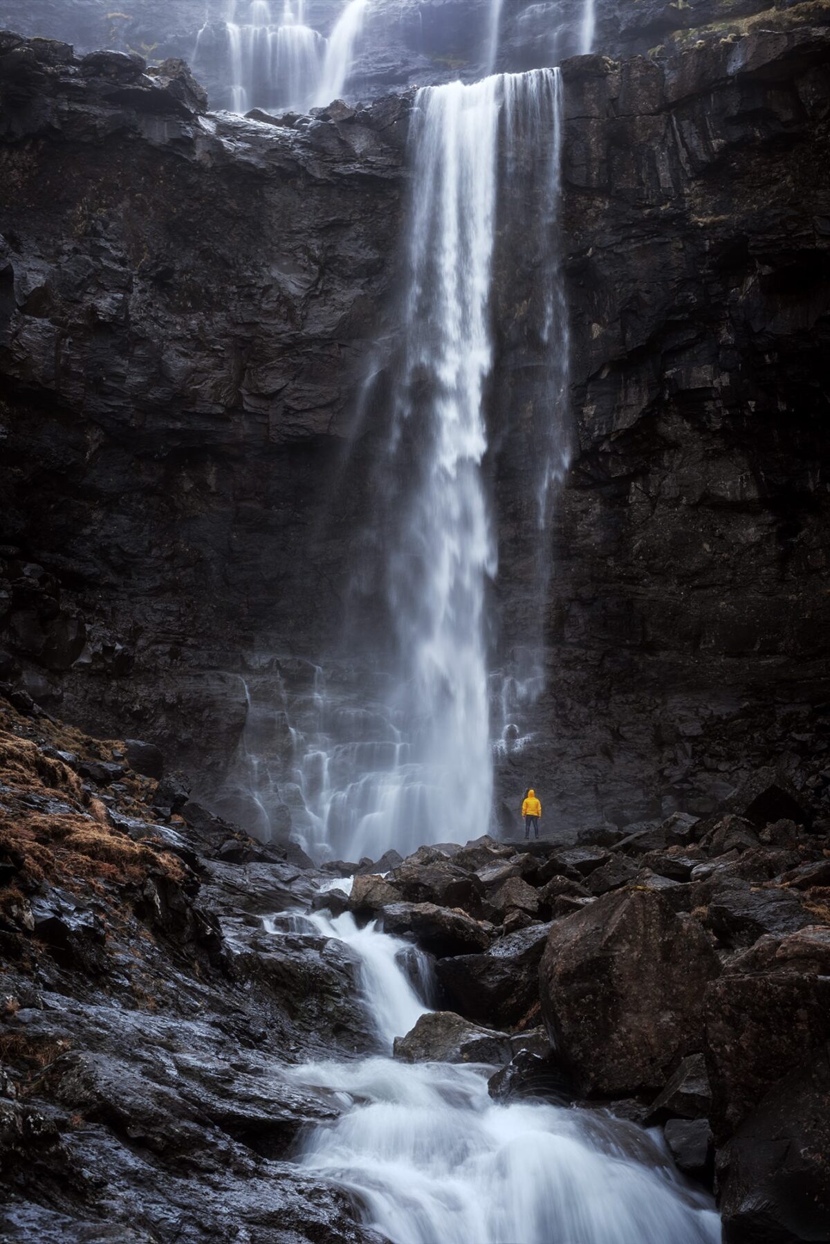
On our way back, we stopped at Fossá waterfall, one of the tallest waterfalls in the Faroe Islands. It is located right next to the road, making it one of the easiest spots to access. There is a small parking area just a few steps away.
For this image, I stayed lower in the riverbed while my friend walked up to the base of the waterfall. The idea was to create a strong sense of scale and highlight the impressive height of the falls. To make the subject stand out, we had actually planned ahead and brought a bright yellow jacket specifically for this shot. It’s a small detail, but it made a huge difference in the final image.
➜ Fossá waterfall car park
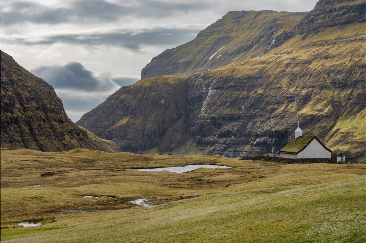
Saksun, the secluded village
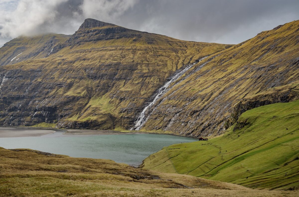
As the rain stopped, we continued our day toward Saksun, a small and secluded village in the north-west of Streymoy, and one of the most iconic locations in the Faroe Islands. It is located about 25 minutes from Fossá waterfall, which made it a perfect next stop.
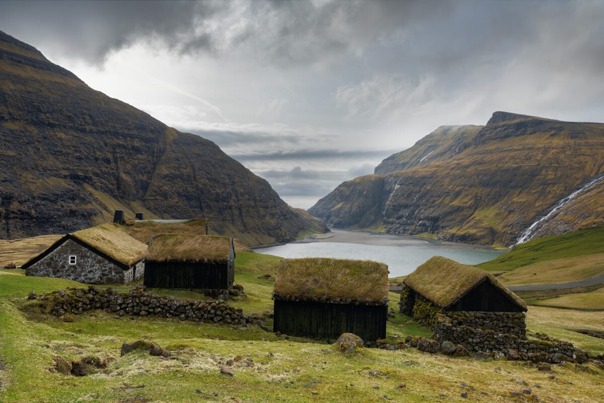
Saksun is famous for its traditional grass-roof houses and its unique landscape. Initially, I wanted to do the small walk along the lagoon, which is possible at low tide all the way to the ocean. Unfortunately, I hadn’t checked the tide beforehand, and it was high when we arrived.
So we decided to take our time exploring the village itself. The atmosphere was incredibly peaceful, with soft light, muted colours, and dramatic mountains surrounding the valley. We were actually the only ones there, which made the experience even more special. I took the time to capture a few images of the grass-roof houses and the small church, which almost feels frozen in time.
However, Saksun is also a place where tourism has had a real impact. We heard that some visitors had been walking across private land and even looking inside houses. As a result, strict rules are now in place, and it is forbidden to walk on the grass, among other restrictions.
At first, this might feel surprising, but once you understand the context, it makes complete sense. Respecting local communities is essential, especially in small and fragile places like this. By simply staying on the marked paths, we were still able to fully enjoy the landscape and capture some beautiful images.
➜ Saksun car park
➜ More information about Saksun
Day 5: Viðoy, Borðoy and northern lights photography
For this fifth day, we explored the northernmost part of the Faroe Islands, between Viðoy and Borðoy. It was a day full of contrasts, from quiet villages and dramatic viewpoints to a night under the northern lights.
Viðoy, the northern island
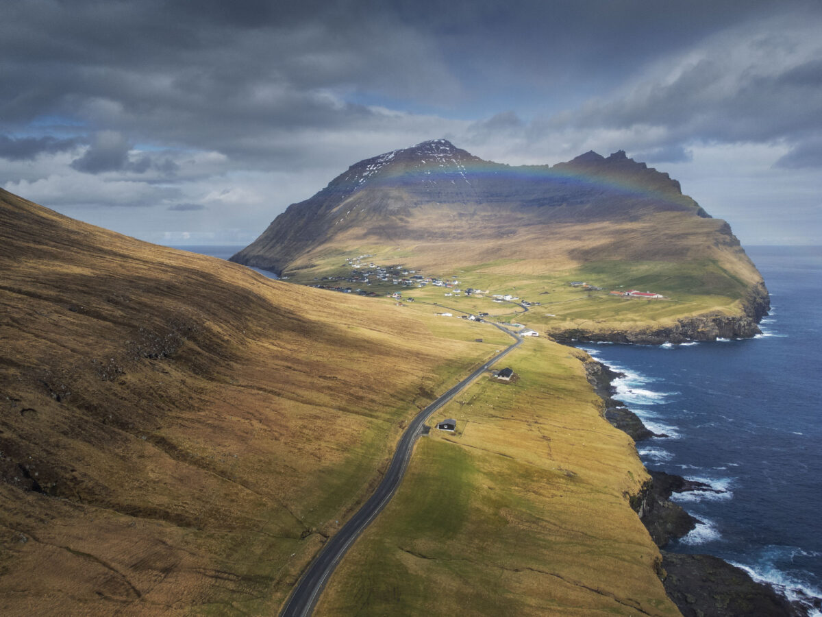
The drive to Viðoy already feels like an experience in itself. As you get closer to the northern edge of the archipelago, the landscape becomes more open and raw, with the ocean constantly in sight. We were even lucky enough to witness a rainbow stretching across the mountains, adding something extra to an already beautiful scene.
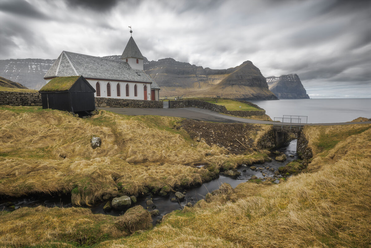
Viðoy is the northernmost island of the Faroe Islands and feels very remote. The village of Viðareiði is small, peaceful, and incredibly photogenic. Its white church, set against the dramatic mountains of Kalsoy in the background, creates one of the most iconic compositions in the area.
From a photography perspective, there are several options here. Just a few steps from the parking area, you can capture the church with the surrounding landscape. A small river flows through the village, which can be used as a leading line in your composition.
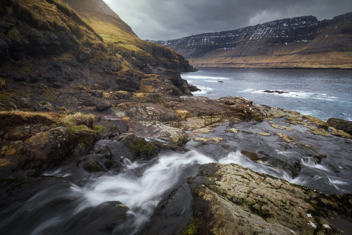
If you follow the river down towards the ocean, you will find even more opportunities. With a long exposure, the flowing water contrasts beautifully with the rugged mountains and creates a soft, atmospheric image.
➜ Viðareiði car park
Klakkur viewpoint, one of the most iconic views
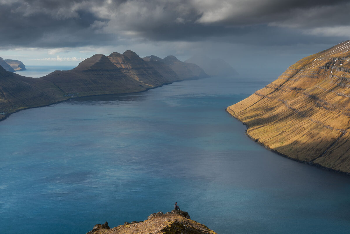
In the afternoon, we headed back to Borðoy to photograph the famous Klakkur viewpoint above Klaksvík.
We parked our car halfway up the road, as we didn’t know there was a parking area higher up. From there, the hike to the summit is much shorter. For those who want a longer experience, the full Klakkur hike starts from Klaksvík and takes around 2h30 round trip.
The terrain was once again very wet, so we decided to put on our crampons. This made the hike much easier and gave us more confidence on the way up.
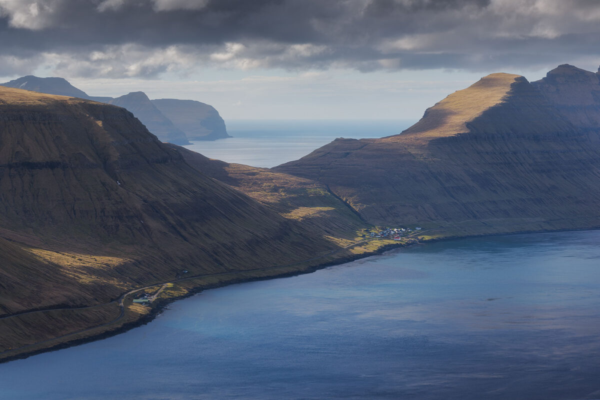
Once at the top, the effort was absolutely worth it. The view is simply incredible, with a panoramic perspective over several islands, including Kunoy, Kalsoy, Eysturoy, and Viðoy.
➜ Klakkur hike car park
➜ Klakkur hike information
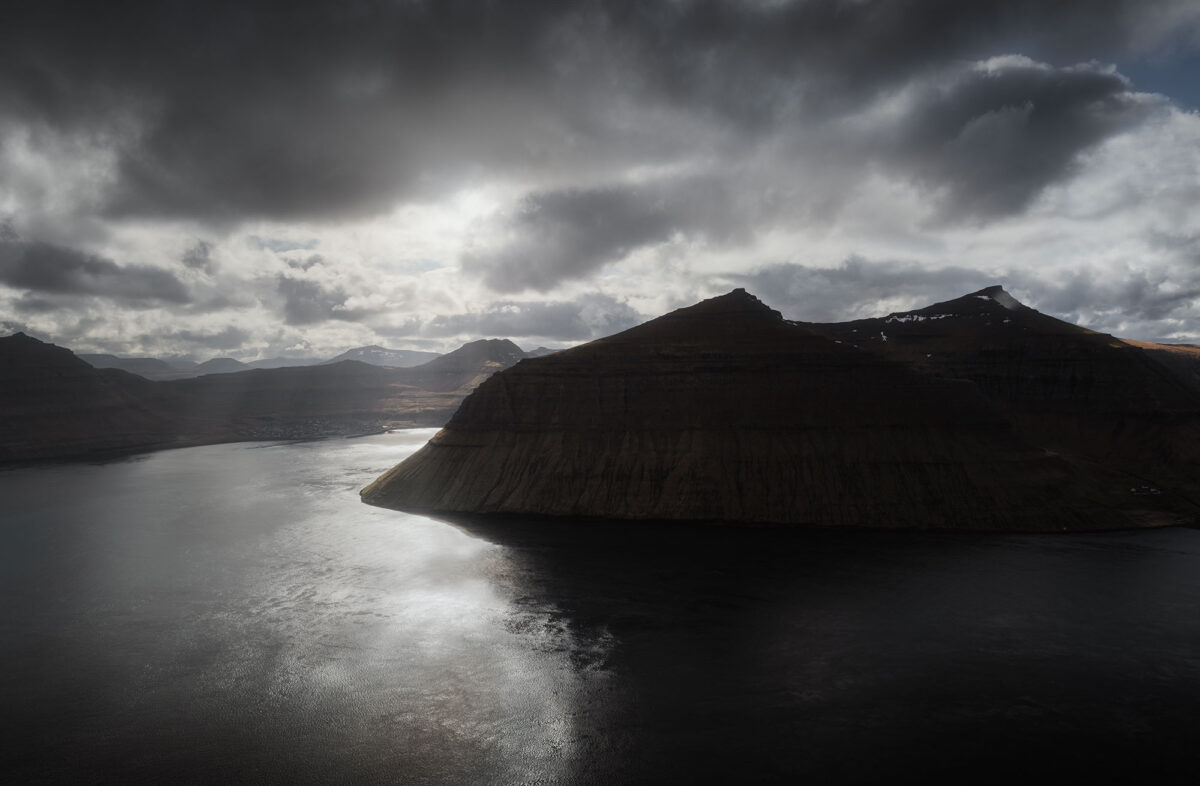
Northern lights at Eiði and near our Airbnb
That evening, the forecast announced clear skies, which gave us a good chance of seeing the northern lights.
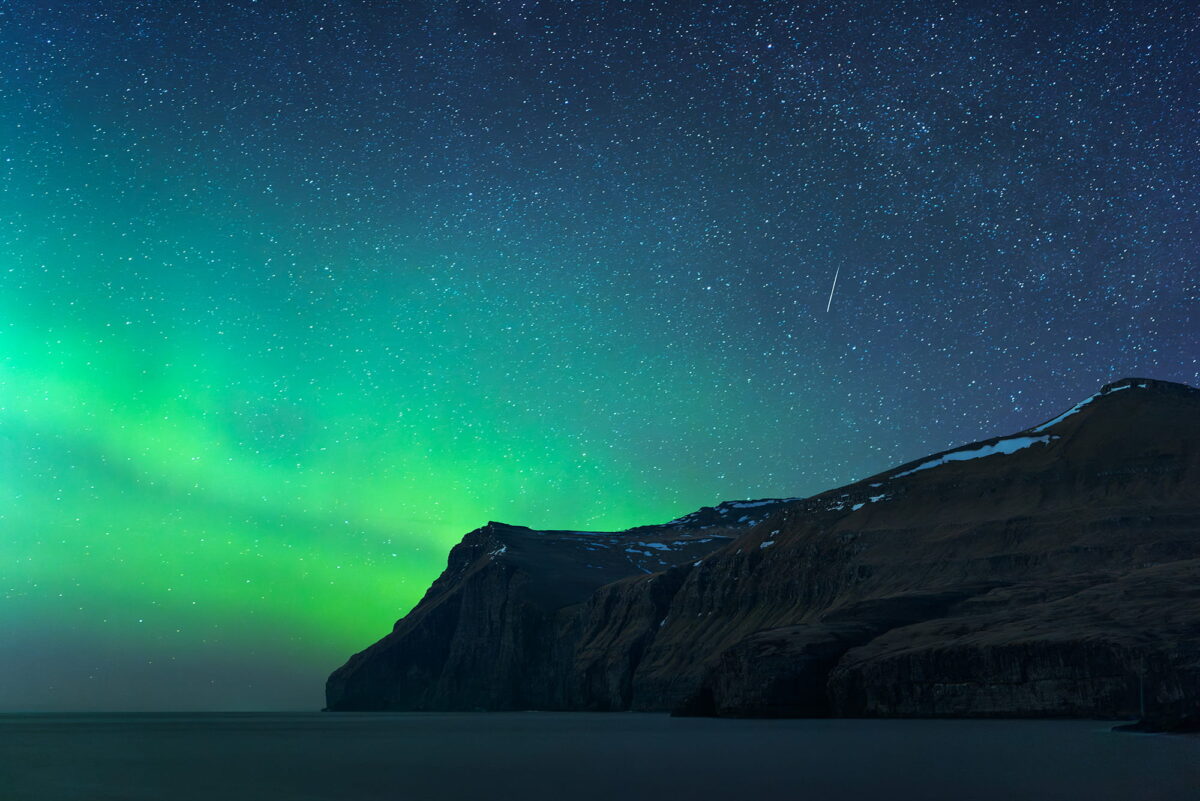
After sunset, we drove to Eiði. I wanted to photograph the aurora with a clean foreground, including the ocean and the surrounding mountains, while avoiding light pollution as much as possible.
We were lucky. The aurora appeared, dancing above the mountains, and at one point, a shooting star crossed the sky. It was one of those moments where everything aligns.
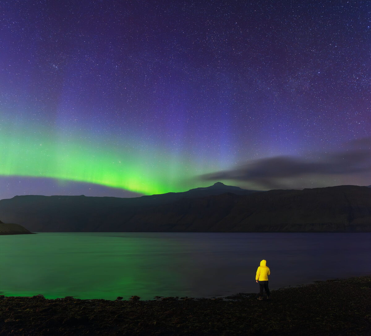
Later that night, we returned to our Airbnb in Hósvík. As I looked outside, I could still see the aurora faintly in the sky. So we decided to go out again, this time just near the shoreline.
I wanted to try a different composition, something more personal. My boyfriend stood facing the horizon, wearing his yellow jacket, which created a strong contrast against the dark landscape and the green tones of the aurora. It was a simple scene, but one that captured the feeling of the moment perfectly.
➜ Eiði car park
➜ Discover my northern lights photography tips
Day 6: Eysturoy Island and Hvithamar viewpoint
For our second to last day in the Faroe Islands, we chose to explore the island of Eysturoy with a few simple photo stops along the way. After several intense days of hiking, we wanted something more relaxed while still discovering new landscapes.
Hellur & Funningur photo stops
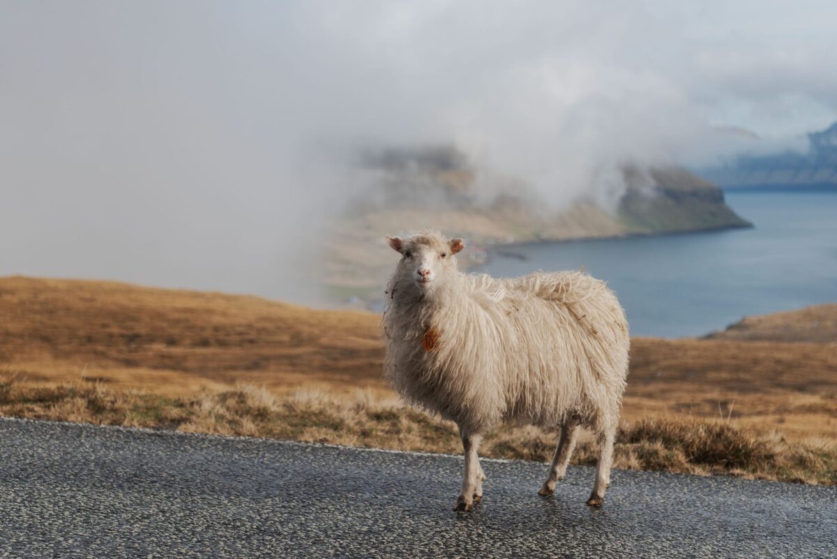
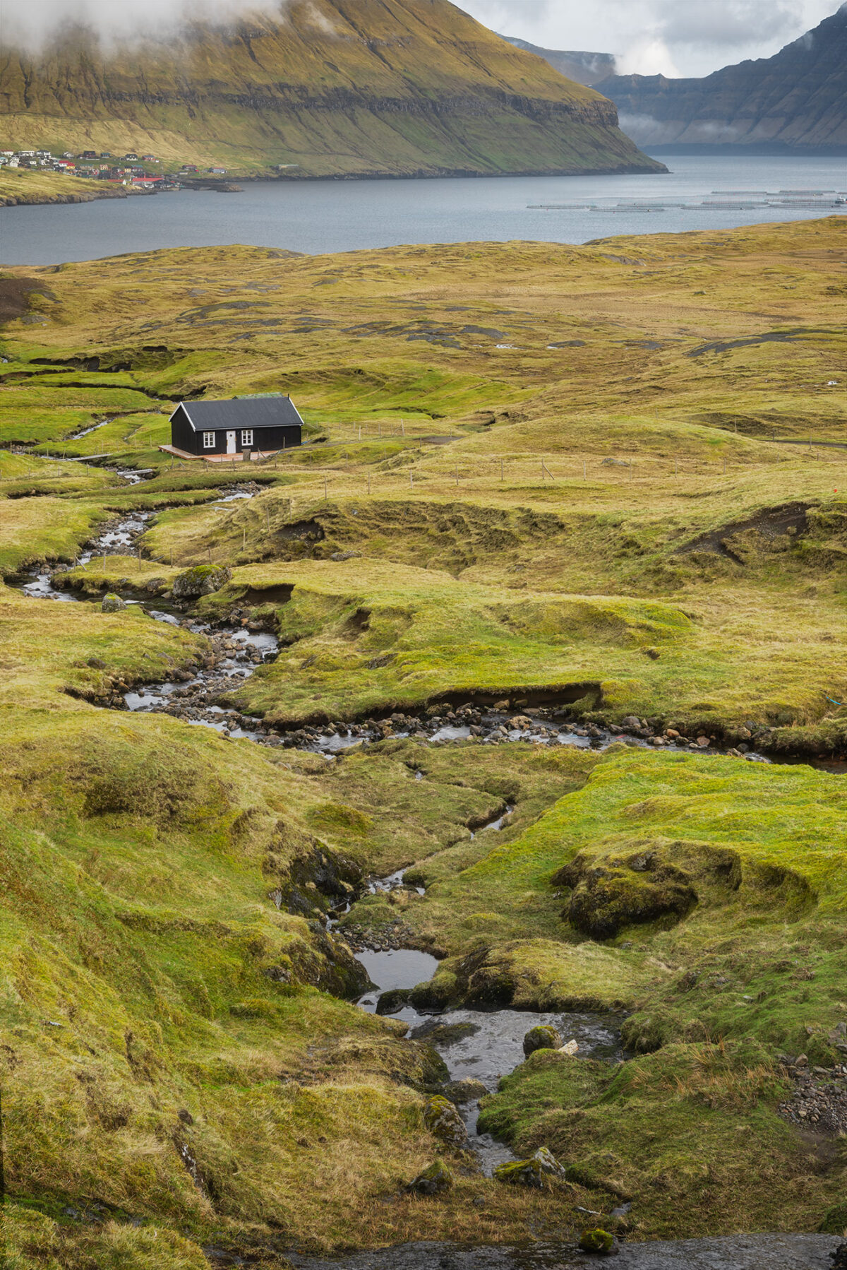
Our first stop of the day was in Hellur. I had spotted a small black house overlooking the fjord and wanted to photograph it. On the way down, we were once again greeted by a few curious sheep. They are everywhere on the islands and often cross the road, so it’s important to drive carefully.
Once at the bottom, you can park right next to the house. I chose a vertical composition to emphasise the height of the surrounding mountains and create a more dynamic frame.
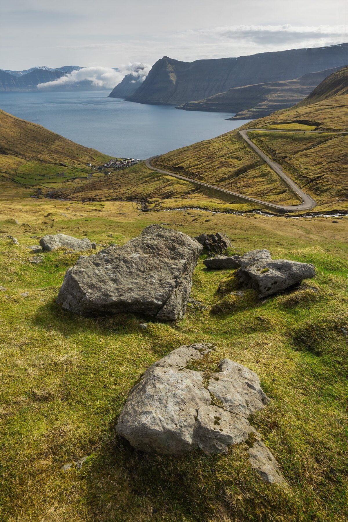
We then continued toward Funningur, one of the most scenic villages in the Faroe Islands. The village lies directly along the road, making it very easy to access.
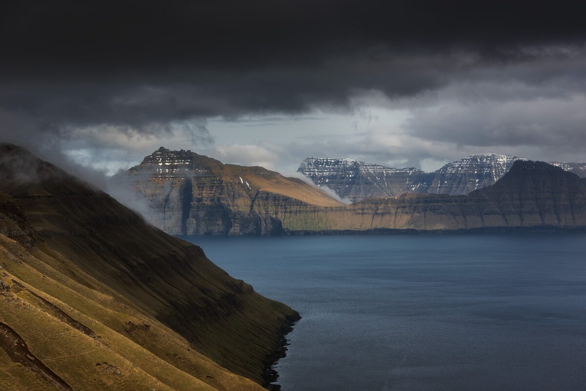
There are many photography opportunities in this area, but my favourite viewpoint was located higher up on the road leading to Gjógv. From there, you get a beautiful view over the fjord, with the village nestled at the base of the mountains. I once again opted for a vertical composition, using foreground elements to guide the eye toward the village.
➜ Funningur village view point
Hvithamar viewpoint, an easy hike with incredible views
Later in the day, as the weather started to change, we headed towards our last hike of the trip at Hvithamar viewpoint, one of the must do photo spots in the Faroe Islands.
The trailhead is located just a short drive from Funningur, near the Gjáarskarð mountain pass, with a small unpaved parking area nearby. From there, the path is easy to follow and relatively short, making it a perfect option if you’re looking for a rewarding viewpoint without a long hike. It takes around 10 to 15 minutes to reach the main ridge, although you can extend the walk slightly depending on your route.
The conditions can change very quickly in the Faroe Islands. When we started hiking, the weather was a mix of sun and clouds. But within less than an hour, the wind picked up, the sky darkened, and the temperature dropped. By the time we reached the top, I had about 30 minutes before the rain arrived.
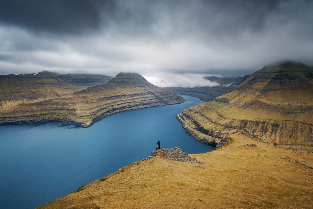
From the ridge, the view over Funningsfjørður is absolutely stunning. You can see the surrounding mountains, the fjord below, and even Kalsoy Island stretching out in the distance. On clear days, it is also possible to spot Slættaratindur, the highest mountain in the Faroe Islands.
To emphasise the scale of the landscape, my friend positioned himself lower on the ridge. It is a classic composition for this location, but one I really wanted to capture. There are many other compositions to explore here, but unfortunately we had to cut our time short as the storm was approaching. Not feeling confident staying up there in those conditions, we decided to head back down to the car.
➜ Hvithamar Trailhead view point
➜ More information abaout Hvithamar Trailhead
Day 7: Norðradalur, Sornfelli and final northern lights
Norðradalur winding road and waterfall
For our last day in the Faroe Islands, we decided to take things slowly and enjoy a more relaxed pace. I still had one spot in mind that I really wanted to photograph: the famous winding road of Norðradalur.
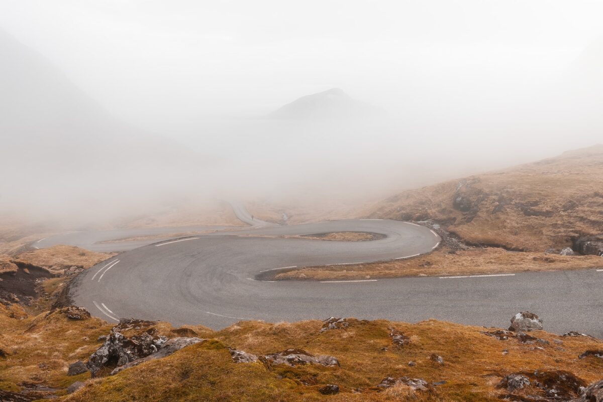
When we woke up, everything was covered in fog. It was the first time during the whole trip, and I immediately thought it could create a unique atmosphere for this location.
We drove to the viewpoint, where you have to park slightly above the road and walk down a bit to get the best composition. When we arrived, the fog was still there, partially revealing the road and the island of Koltur in the background. It felt incredibly moody and minimal. We got there around midday, and honestly, the conditions could not have been better.
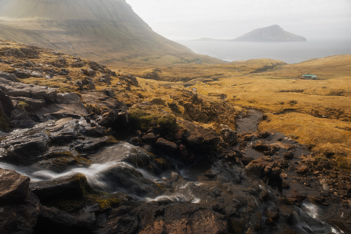
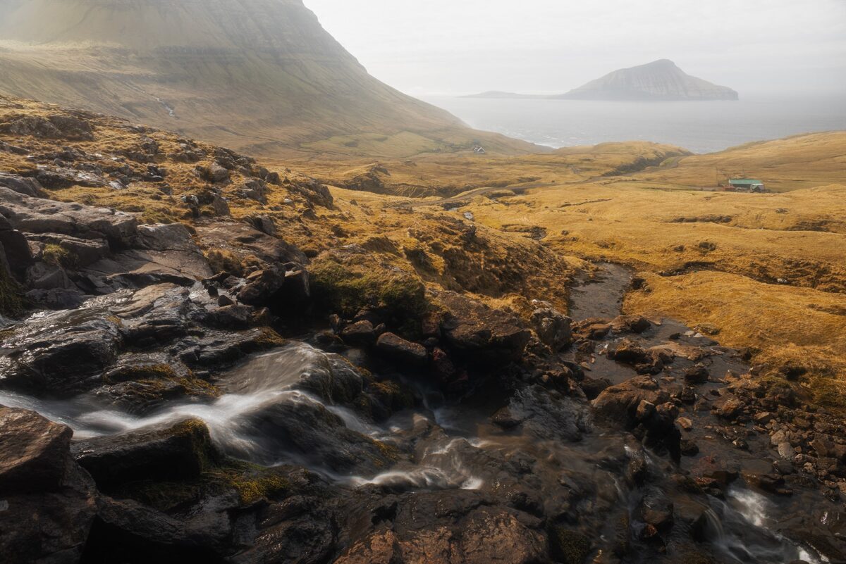
As the fog slowly started to lift, the light became stronger and more contrasty. On the way down, I had noticed a small stream with tiny waterfalls. It made a perfect foreground element, adding depth and movement to the scene for a second composition.
➜ Winding road of Norðradalur view point
Blue hour at Sornfelli and northern lights at Risin og Kellingin
During the afternoon, we headed back to Tórshavn to enjoy a bit of time in the capital, wandering through the streets and grabbing something to eat before our final evening.
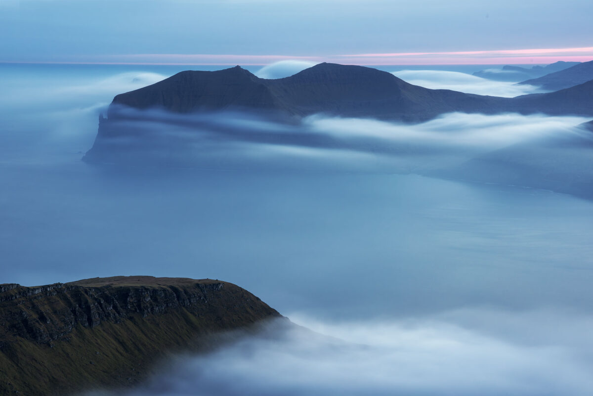
Our plan was to go up to Sornfelli for sunset and blue hour. Once there, we found ourselves above a layer of fog, with the landscape slowly fading into soft shapes below. Using a long exposure, I was able to smooth the fog and create a very minimal, almost dreamlike scene, with Trøllkonufingur emerging in the distance.
At that moment, I received a notification that northern lights might be visible. We waited for a while, but nothing appeared. It was extremely windy and cold, so we decided to change location and try our luck elsewhere.
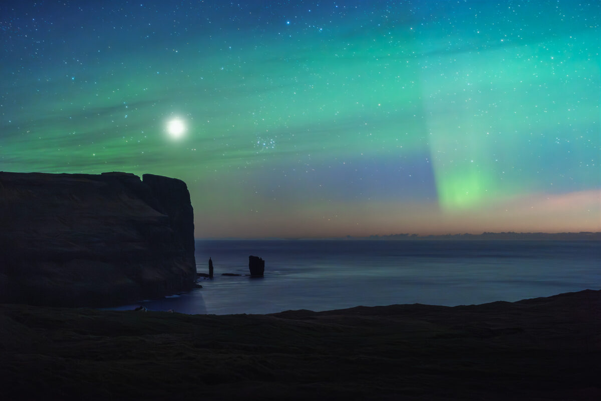
We drove towards the Risin og Kellingin viewpoint above Eiði, hoping for a clearer sky. And this is where everything came together.
Under a bright full moon, the northern lights finally appeared. On top of that, a subtle airglow was visible in the sky. Standing there, with the iconic sea stacks of Risin og Kellingin in front of us, I captured one of my favourite images of the entire trip. A perfect ending to our time in the Faroe Islands.
➜ Sornfelli car park
➜ Risin og Kellingin view point
Final thoughts
If you are considering a photography trip to the Faroe Islands, I genuinely think April is one of the most rewarding times to visit. The weather remains wild and unpredictable, waterfalls are flowing strongly, popular locations are often surprisingly quiet, and there is still a chance of witnessing the northern lights.
Over seven days, I photographed waterfalls, sea cliffs, mountain viewpoints, remote villages, winding roads and even auroras. Few places offer such a variety of landscapes within such short driving distances.
The Faroe Islands taught me an important lesson: sometimes the best photographs happen when the weather doesn’t go according to plan. Embrace the changing conditions, stay flexible, and enjoy the adventure.
And most of all, enjoy the moment. Happy shooting.
Published on January 13, 2024 by Jennifer Esseiva
Updated on April 17 2026